Riyadh Dry Port, Riyadh
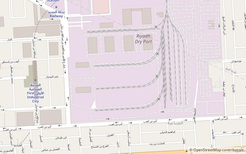
Map
Facts and practical information
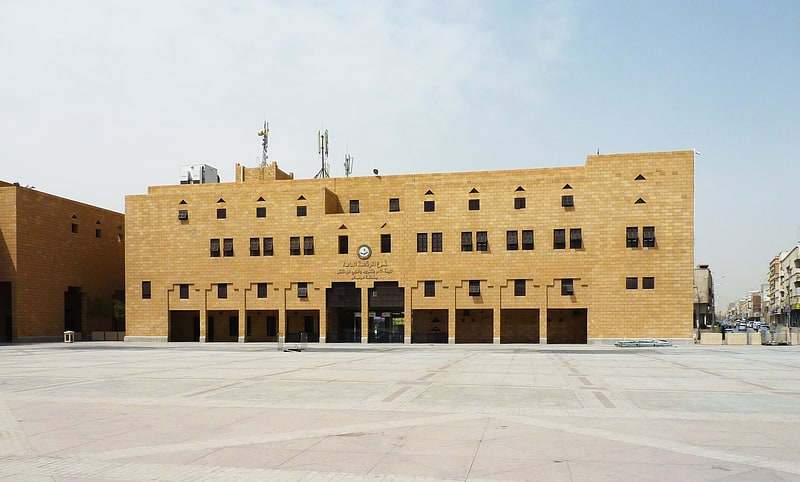
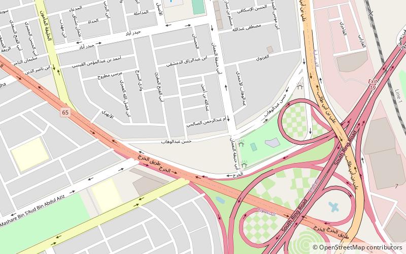
Riyadh Dry Port is a dry port in the city of Riyadh. It is the largest inland port in Saudi Arabia. The port is located on off Exit 16 in Al Malaz, adjacent to the Riyadh railway station. Riyadh Dry Port covers an area of 918,639 m2 and accommodates six 6,480 m2 warehouses. ()
Coordinates: 24°38'41"N, 46°44'44"E
Address
الماز (الصناعية)Riyadh
ContactAdd
Social media
Add
Getting there by public transportation
Public transportation stops near this location
- Metro
- Train
 Metro
Metro
- Calculate routeRiyadh Dry Port 4 min walk
- Calculate routeRiyadh Railway Station 13 min walk
- Calculate routeFirst Industrial city 10 min walk
- Calculate routeRailway Station 12 min walk
- Calculate routeAs Salehiyah 24 min walk
- Calculate routeAl Malaz 28 min walk
Day trips

Frequently Asked Questions (FAQ)
How to get to Riyadh Dry Port by public transport?
The nearest stations to Riyadh Dry Port:
Train
Metro
Train
- Riyadh Dry Port (4 min walk)
- Riyadh Railway Station (13 min walk)
Metro
- First Industrial city • Lines: 3 Orange Line (10 min walk)
- Railway Station • Lines: 3 Orange Line (12 min walk)