Al Malaz, Riyadh
Facts and practical information
Nestled within the bustling city of Riyadh, Al Malaz stands as a testament to the rapid urbanization and cultural evolution of Saudi Arabia's capital. This vibrant sub-municipality, known for its residential and commercial dynamism, is a hub of activity and an essential part of Riyadh's metropolitan tapestry.
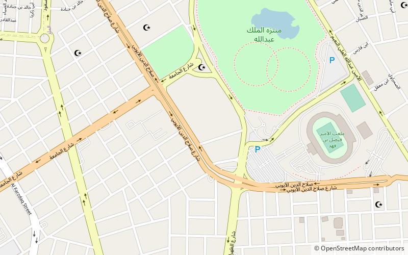
Al Malaz, with its strategic location in the heart of Riyadh, offers a unique blend of modernity and tradition. The district is characterized by its well-structured streets and an array of amenities that cater to the needs of its diverse population. It is a place where the city's rapid development and rich heritage converge, presenting a microcosm of Saudi Arabia's forward-looking vision.
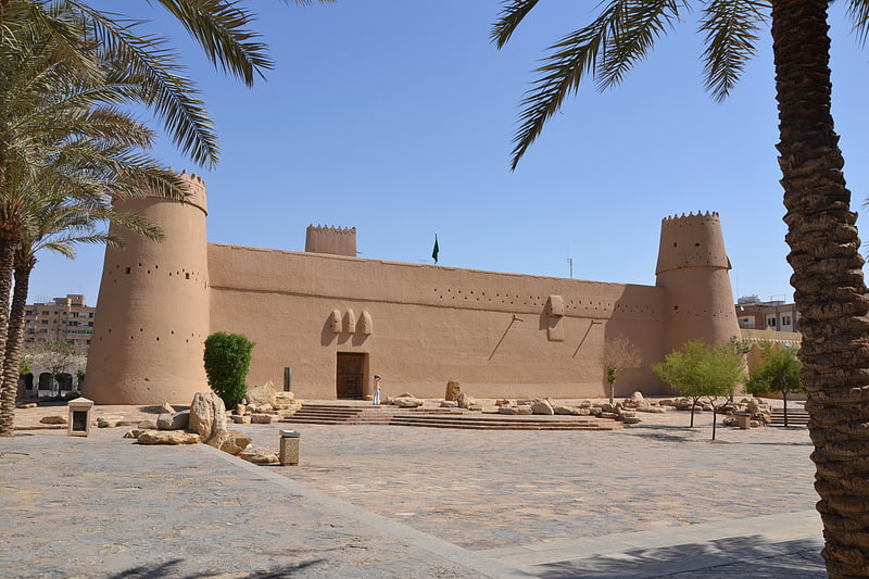
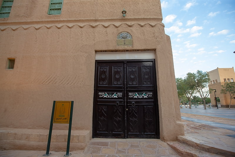
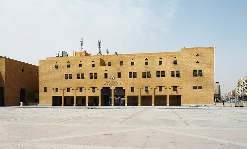
The sub-municipality is home to several historic sites, government buildings, and sports facilities, including the iconic King Fahd International Stadium – a landmark that not only hosts sporting events but also serves as a cultural beacon for the community. Al Malaz is also known for the Riyadh Zoo, the largest zoo in Saudi Arabia, which provides an entertaining and educational experience for families and wildlife enthusiasts.
Al Malaz's commercial landscape is dotted with shopping centers, restaurants, and cafes, offering both local and international cuisines to satisfy the palates of its cosmopolitan residents. The district's bustling markets and retail outlets reflect the city's economic vitality, making it a popular destination for shopping and leisure.
The area is well-served by public transportation, with several major roads and highways connecting it to other parts of Riyadh. This accessibility makes Al Malaz an attractive location for businesses and residents alike, ensuring that the sub-municipality remains a key player in Riyadh's ongoing growth and development.
الماز (الملز)Riyadh
- Metro
- Train
 Metro
Metro
- Calculate routeAl Malaz 17 min walk
- Calculate routeRailway Station 26 min walk
- Calculate routeMinistry of Defence 28 min walk
- Calculate routeMew&A 28 min walk
- Calculate routeRiyadh Railway Station 25 min walk
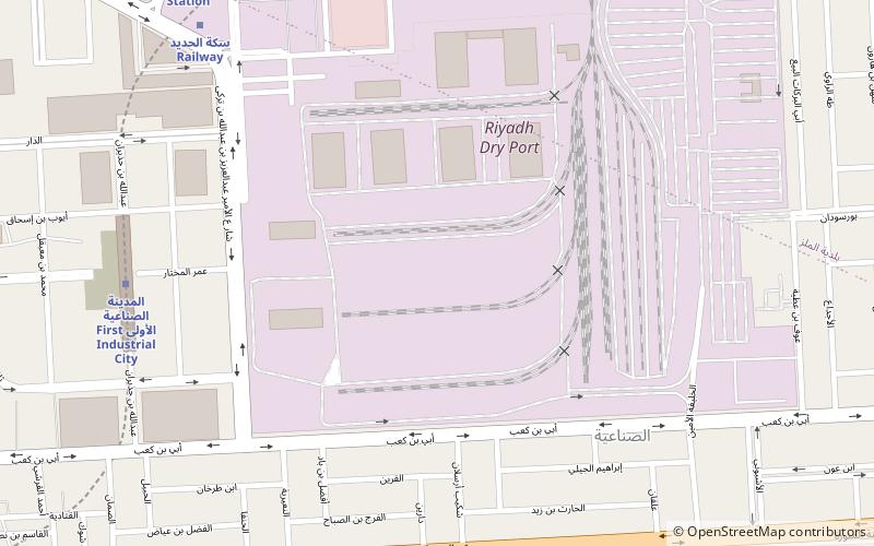
- Calculate routeRiyadh Dry Port 36 min walk


Frequently Asked Questions (FAQ)
How to get to Al Malaz by public transport?
Metro
- Al Malaz • Lines: 3 Orange Line (17 min walk)
- Railway Station • Lines: 3 Orange Line (26 min walk)
Train
- Riyadh Railway Station (25 min walk)
- Riyadh Dry Port (36 min walk)