Al Batha, Riyadh
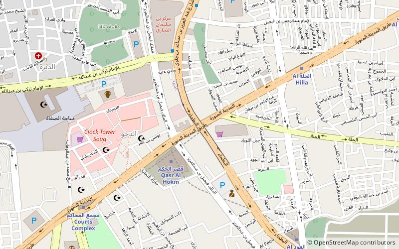
Map
Facts and practical information
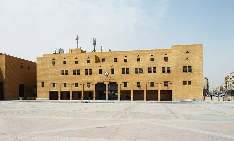
The Female Student Study Center – Al Batha Branch was one of the three women-only satellite campuses of Imam Mohammad Ibn Saud Islamic University in ad-Dirah, Riyadh, Saudi Arabia. Established in 1984, the campus offered courses at undergraduate, postgraduate and doctorate levels in fields such as Islamic studies, mass media, Arabic literature and social psychology. The premises were handed over to Yara International School after the relocation of students and faculty to the newly built King Abdullah City for Female Students in 2012. ()
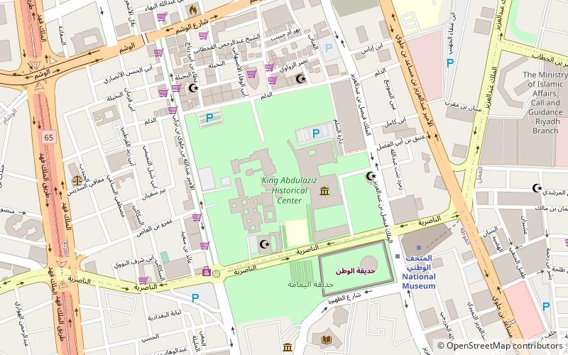
Coordinates: 24°37'48"N, 46°43'2"E
Address
البطحاء (المرقب)Riyadh
ContactAdd
Social media
Add
Getting there by public transportation
Public transportation stops near this location
- Metro
 Metro
Metro
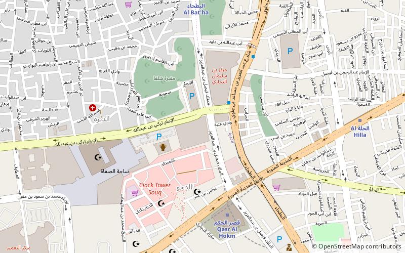
- Calculate routeQasr al Hokm 3 min walk
- Calculate routeAl Hilla 9 min walk
- Calculate routeCourts Complex 10 min walk
- Calculate routeAl Owd 11 min walk
Day trips
Al Batha – popular in the area (distance from the attraction)
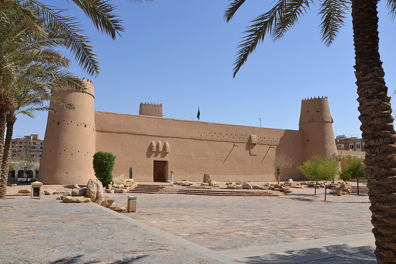
Nearby attractions include: Masmak Fort, Murabba Palace, National Museum of Saudi Arabia, Imam Turki bin Abdullah Mosque.


Frequently Asked Questions (FAQ)
Which popular attractions are close to Al Batha?
Nearby attractions include Helwah dam, Riyadh (6 min walk), Haeer Dam, Riyadh (6 min walk), Hanabej Dam, Riyadh (6 min walk), Hareeq Dam, Riyadh (6 min walk).
How to get to Al Batha by public transport?
The nearest stations to Al Batha:
Metro
Metro
- Qasr al Hokm • Lines: 1, 3 Orange Line (3 min walk)
- Al Hilla • Lines: 3 Orange Line (9 min walk)