Helwah dam, Riyadh
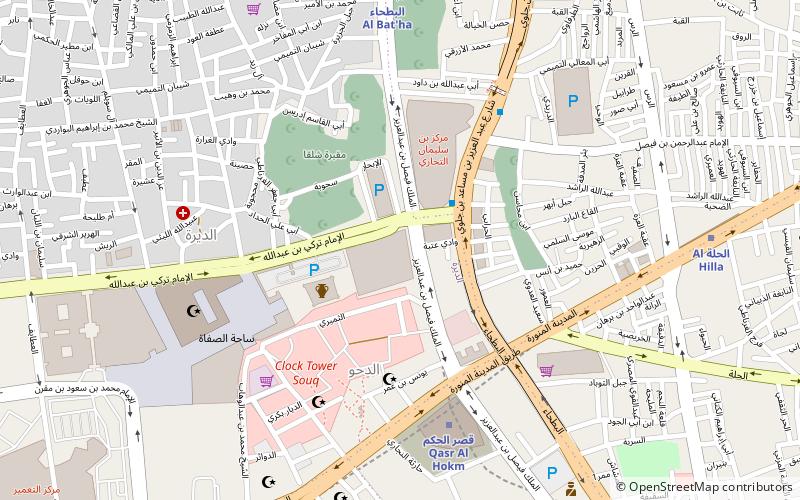
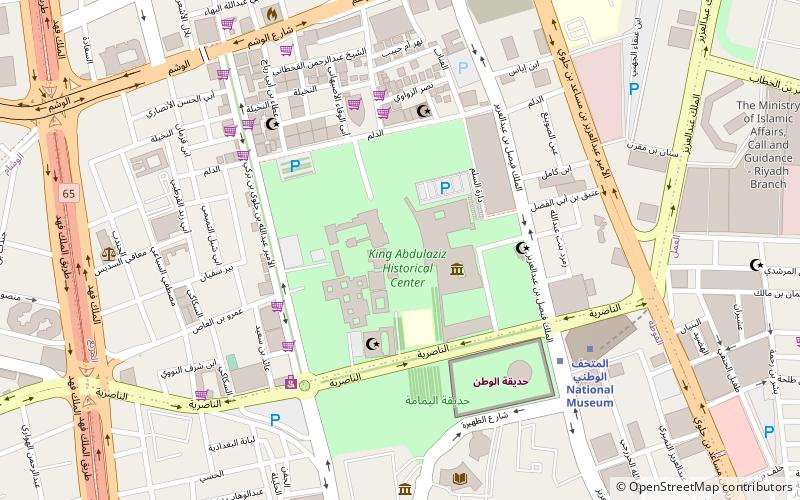
Map
Facts and practical information
The Helwah dam is a dam in Saudi Arabia opened in 2002 and located in Riyadh region. ()
Coordinates: 24°37'55"N, 46°42'54"E
Address
البطحاء (الديرة)Riyadh
ContactAdd
Social media
Add
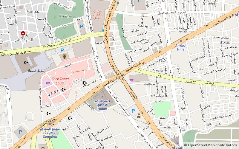
Getting there by public transportation
Public transportation stops near this location
- Metro
 Metro
Metro
- Calculate routeQasr al Hokm 6 min walk
- Calculate routeAl Bat'ha 9 min walk
- Calculate routeCourts Complex 11 min walk
- Calculate routeAl Hilla 11 min walk
Day trips


Frequently Asked Questions (FAQ)
Which popular attractions are close to Helwah dam?
Nearby attractions include Haeer Dam, Riyadh (1 min walk), Hanabej Dam, Riyadh (1 min walk), Hareeq Dam, Riyadh (1 min walk), Al-Alab dam, Riyadh (1 min walk).
How to get to Helwah dam by public transport?
The nearest stations to Helwah dam:
Metro
Metro
- Qasr al Hokm • Lines: 1, 3 Orange Line (6 min walk)
- Al Bat'ha • Lines: 1 (9 min walk)