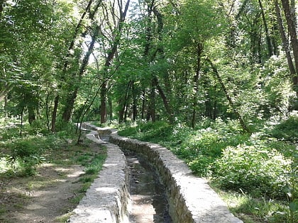
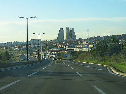
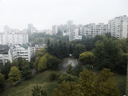
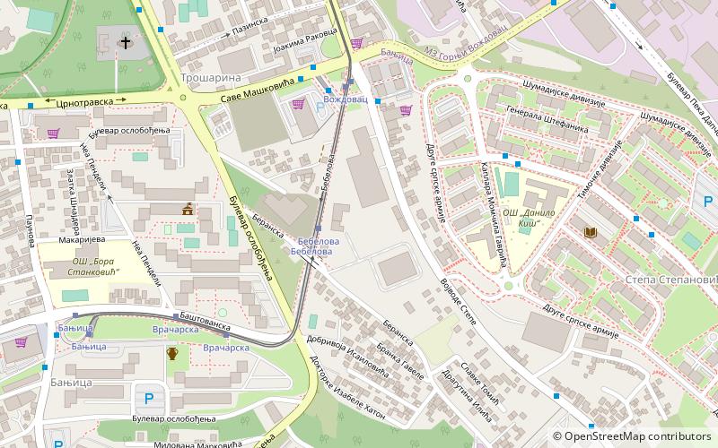
Banjica forest, Belgrade
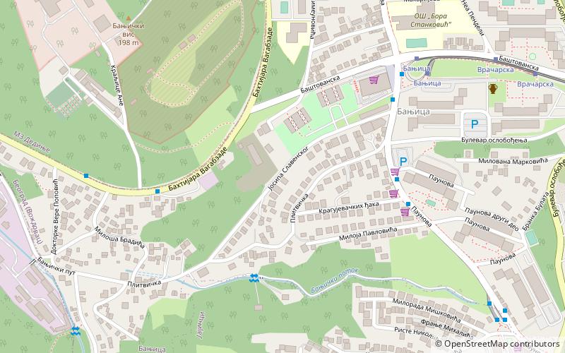
Map
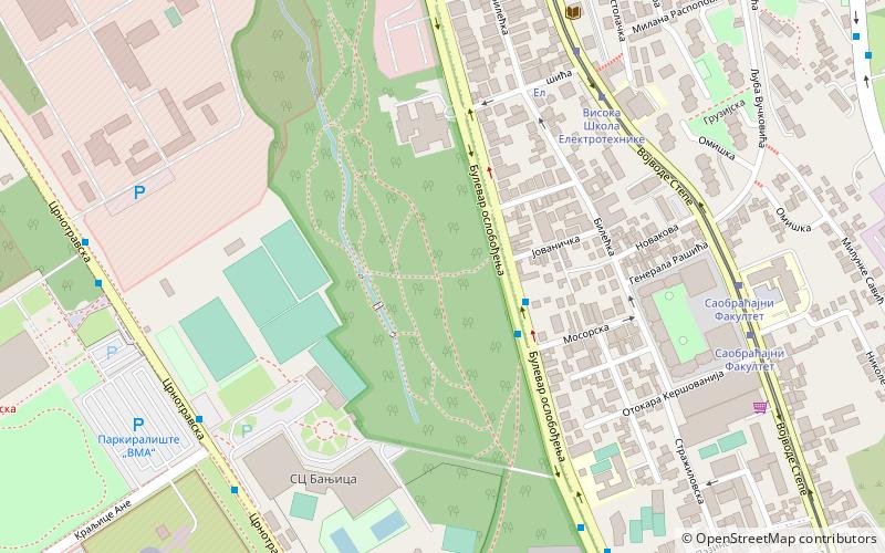
Map

Facts and practical information
Local name: Бањичка шумаEstablished: 15 September 2015Elevation: 568 ft a.s.l.Coordinates: 44°45'58"N, 20°28'35"E
Address
Bulevar oslobođenjaSavski Venac (Diplomatska Kolonija)Belgrade 11040
ContactAdd
Social media
Add
Day trips
Banjica forest – popular in the area (distance from the attraction)
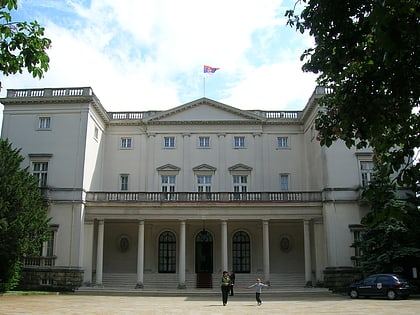
Nearby attractions include: Red Star Stadium, Rosalie Morton Park, Beli dvor, Royal Compound.
Frequently Asked Questions (FAQ)
Which popular attractions are close to Banjica forest?
Nearby attractions include Trošarina, Belgrade (10 min walk), Banjica, Belgrade (16 min walk), Adligat, Belgrade (21 min walk), Braće Jerković, Belgrade (21 min walk).
How to get to Banjica forest by public transport?
The nearest stations to Banjica forest:
Bus
Tram
Trolleybus
Bus
- Мосорска • Lines: 401, 402, 47, 48 (3 min walk)
- Висока Школа Електротехнике • Lines: 33, E9 (7 min walk)
Tram
- Висока Школа Електротехнике • Lines: 10, 14, 14L3, 9 (7 min walk)
- Саобраћајни Факултет • Lines: 10, 14, 14L3, 9 (8 min walk)
Trolleybus
- Пливалиште Бањица • Lines: 40, 41 (7 min walk)
- Војномедицинска Академија • Lines: 40, 41 (9 min walk)
