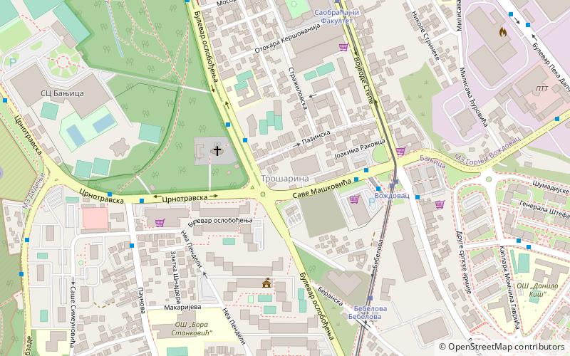
Banjica, Belgrade
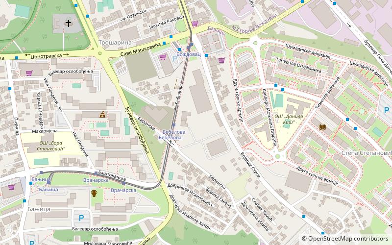
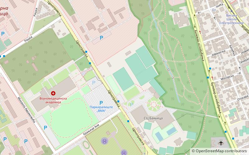
Map
Facts and practical information
Address
Belgrade
ContactAdd
Social media
Add
Getting there by public transportation
Public transportation stops near this location
- Bus
- Trolleybus
- Tram
 Bus
Bus
- Calculate routeБебелова 2 min walk
- Calculate routeВождовац 5 min walk
- Calculate routeВрачарска 6 min walk
- Calculate routeБањица 9 min walk
- Calculate routeВождовац-Окретница 4 min walk
- Calculate routeВождовац 4 min walk
- Calculate routeTrošarina 5 min walk
- Calculate routeTrosarina 5 min walk
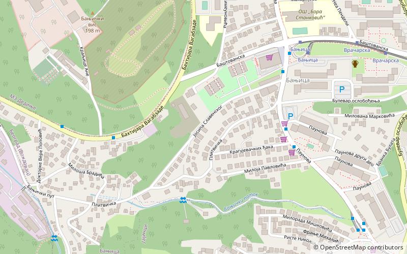
- Calculate routeБаштованска 10 min walk
- Calculate routeПаунова 11 min walk
- Calculate routeКрагујевачких Ђака 12 min walk
- Calculate routeBanjica 2 14 min walk
Day trips


Frequently Asked Questions (FAQ)
Which popular attractions are close to Banjica?
Nearby attractions include Trošarina, Belgrade (7 min walk), Adligat, Belgrade (16 min walk), Banjica forest, Belgrade (16 min walk), Braće Jerković, Belgrade (20 min walk).
How to get to Banjica by public transport?
The nearest stations to Banjica:
Tram
Bus
Trolleybus
Tram
- Бебелова • Lines: 10, 14, 14L3, 9 (2 min walk)
- Вождовац • Lines: 10, 14, 14L3, 9 (5 min walk)
Bus
- Вождовац-Окретница • Lines: 409, 503 (4 min walk)
- Вождовац • Lines: 33, 403, 405, 406, 406L, 407, 408, 409, E9 (4 min walk)
Trolleybus
- Баштованска • Lines: 40, 41 (10 min walk)
- Паунова • Lines: 40, 41 (11 min walk)