Tilva Njagra

Gallery (1)
Map
Map
Facts and practical information
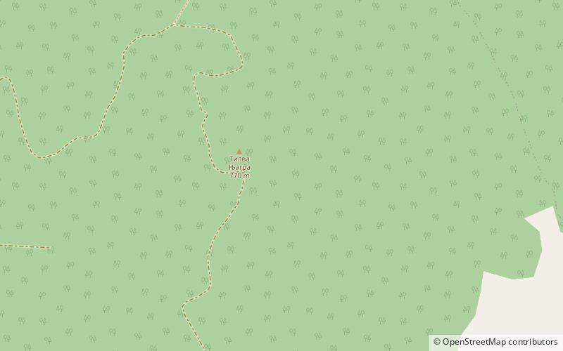
Tilva Njagra is a mountain in eastern Serbia, near the town of Zlot. Its highest peak has an elevation of 770 meters above sea level. ()
Elevation: 2526 ftCoordinates: 44°4'25"N, 21°59'48"E
Location
Borski
ContactAdd
Social media
Add
Day trips


