Crni Vrh
Map

Map

Facts and practical information
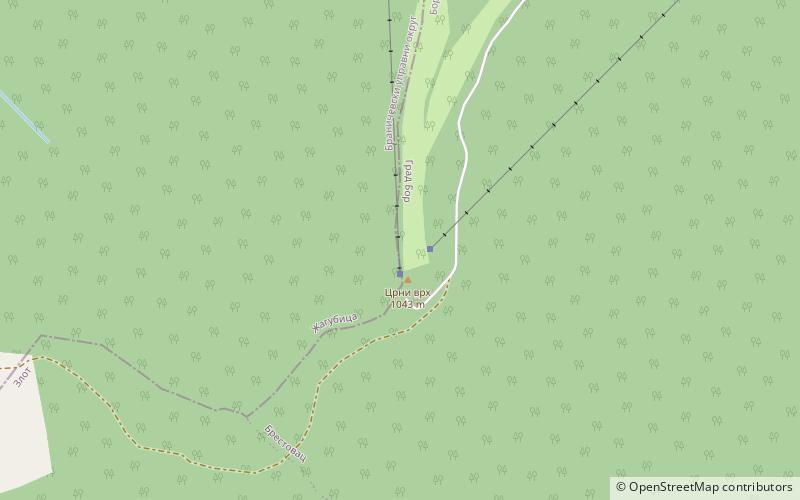
Crni vrh is a mountain in eastern Serbia, between towns of Bor and Žagubica. Its eponymous highest peak has an elevation of 1,043 m above sea level. It is a minor winter resort, and it has several ski tracks, although the infrastructure is in bad shape. However, in 2009 the municipality of Bor invested in reconstruction of the ski lift The main ski track is 1100 m long and has height span of 260 m. ()
Local name: Црни врхElevation: 3422 ftCoordinates: 44°7'50"N, 21°57'51"E
Location
Borski
ContactAdd
Social media
Add
Day trips
Crni Vrh – popular in the area (distance from the attraction)
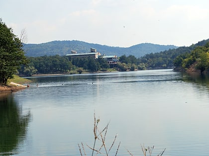
Nearby attractions include: Bor Lake, Tilva Njagra.


