Stol

Gallery (1)
Map
Map
Facts and practical information
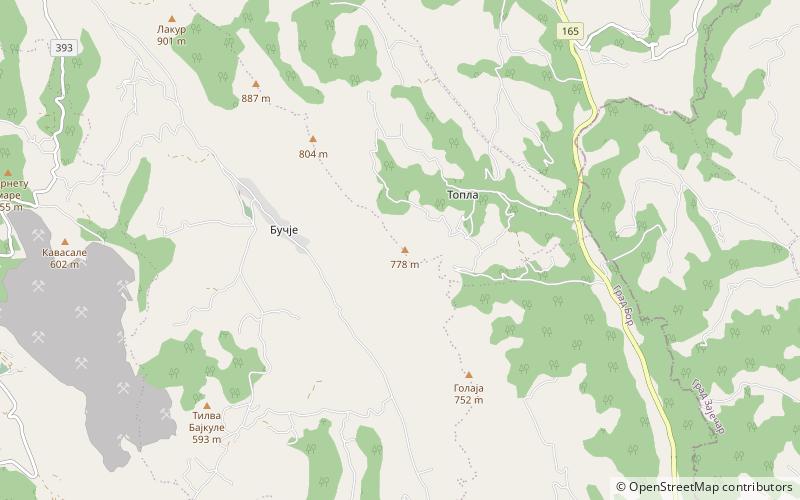
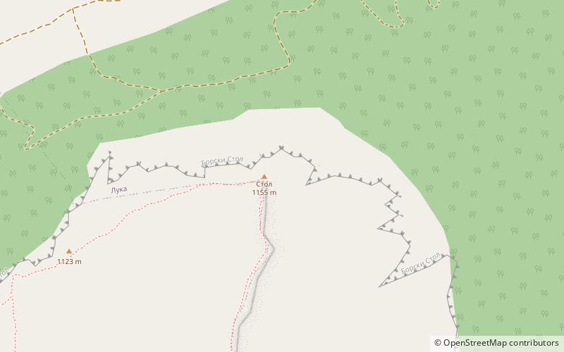
Stol is a mountain in eastern Serbia, near the town of Bor. Its highest peak has an elevation of 1,156 meters above sea level. Like nearby Veliki Krš and Mali Krš, Stol has a number of pronounced karst formations. There is a mountain hut with around 35 beds, maintained by the mountaineering society "Crni vrh" from Bor. ()
Local name: СтолElevation: 3793 ftCoordinates: 44°10'42"N, 22°8'20"E
Location
Borski
ContactAdd
Social media
Add
Day trips