Ratko Jović, Niš
#14 among attractions in Niš

Facts and practical information
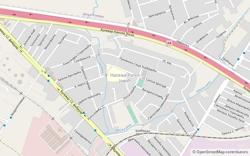
Ratko Jović; is an urban neighborhood in Niš. It is located in municipality of Crveni Krst. ()
Niš Serbia
- Bus
- Train
Bus
- Calculate routeРатка Јовића 5 min walkLines 3 34А 34Б
- Calculate routeНасеље Ратко Јовић 7 min walkLines 3 34А 34Б
- Calculate routeСтругара 8 min walkLines 9
- Calculate routeДоњи Комрен окретница 10 min walkLines 12
- Calculate routeЦрвени Крст 24 min walkLines no data
Ratko Jović – popular in the area (distance from the attraction)
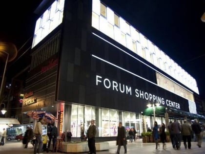
Nearby attractions include: Čair Sports Center, Skull Tower, Niš Fortress, Forum shopping mall.
 Water park, Amusement park, Park
Čair Sports Center, Niš
66 min walk • Nestled in the heart of Niš, the bustling city in southern Serbia, Čair Sports Center stands as a modern testament to the region's commitment to sports and physical fitness. This multifunctional sports venue has become a central hub for various athletic events...
 Tower, Ruins, Museum
Skull Tower, Niš
87 min walk • Skull Tower, also known as Ćele Kula, is a chilling historical monument located in the city of Niš, Serbia. This somber structure serves as a stark reminder of the past, particularly of the Serbian struggle against Ottoman rule in the early 19th century.
 Historical place, Forts and castles
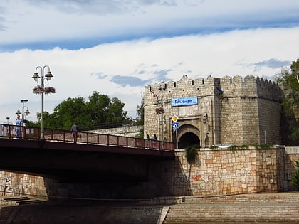
Niš Fortress, Niš
44 min walk • The Niš Fortress stands as a historical bastion in the heart of Niš, Serbia, encapsulating centuries of conflict, culture, and architecture. This imposing structure is a testament to the city's strategic importance, having witnessed a myriad of battles and rulers.

 Archaeological site
Mediana, Niš
114 min walk • Mediana is a significant archaeological site nestled in the city of Niš, Serbia, providing a unique window into the grandeur of ancient Roman civilization. This sprawling estate, believed to have been constructed in the early 4th century, is thought to have been the...
 Monuments and statues, Memorial
Bubanj Memorial Park, Niš
72 min walk • Bubanj Memorial Park stands as a solemn reminder of the atrocities of war and a testament to the resilience of the human spirit in Niš, Serbia. This poignant site is dedicated to the thousands of Serbian civilians and resistance fighters who were executed by occupying...
 Memorial
Čegar
97 min walk • Čegar is a location in Serbia where the Battle of Čegar Hill took place. It was first marked on July 4, 1878 with the following inscription: "To voivoda Stevan Sinđelić and his undying heroes who lost their lives on May 19, 1809, in their attack on Niš. Knez Milan M.
 Mosque
Islam-aga's Mosque, Niš
50 min walk • Islam-aga's Mosque stands as a historical and cultural landmark in the city of Niš, Serbia. This mosque is one of the few remaining Islamic religious structures in a region where the religious landscape has shifted over centuries.
 Concentration camp
Crveni Krst concentration camp, Niš
31 min walk • The Crveni Krst concentration camp, situated in the city of Niš, Serbia, stands as a haunting reminder of the atrocities of World War II. Established by German occupiers in 1941, it was one of the few concentration camps that was not destroyed during the war, leaving...
 Concerts and shows, Theater
National Theatre in Niš, Niš
55 min walk • The National Theatre in Niš stands as a cultural beacon in the heart of the city of Niš, Serbia. This esteemed institution, dedicated to the performing arts, has been a hub of creativity and theatrical excellence for many years.
 Football, Sport venue, Sport
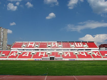
Čair Stadium, Niš
68 min walk • Čair Stadium is a multi-purpose stadium in Niš, Serbia. It is used mostly for football matches and is the home ground of Radnički Niš. After a partial reconstruction that began in 2011, the renovated stadium re-opened to the public on 15 September 2012.
Frequently Asked Questions (FAQ)
How to get to Ratko Jović by public transport?
Bus
- Ратка Јовића • Lines: 3, 34А, 34Б (5 min walk)
- Насеље Ратко Јовић • Lines: 3, 34А, 34Б (7 min walk)
Train
- Црвени Крст (24 min walk)