Ramos National Park, La Digue
Gallery (1)
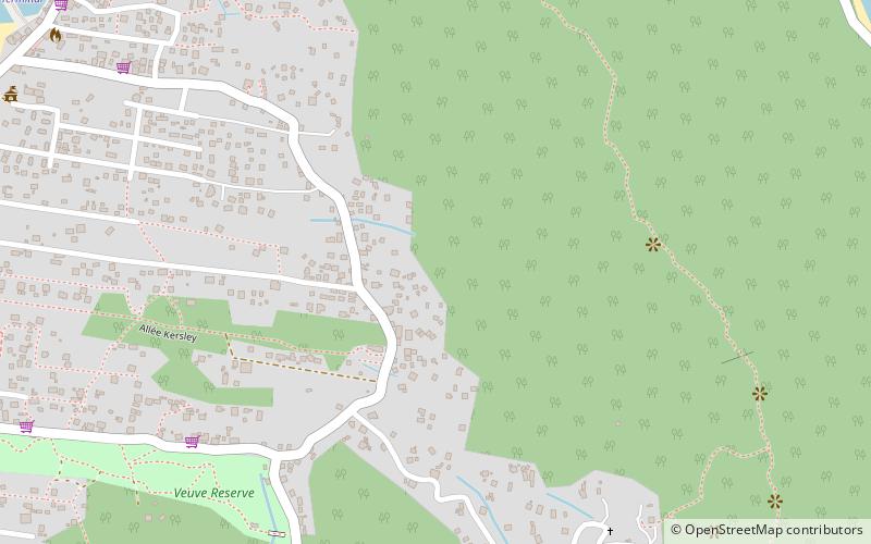
Map
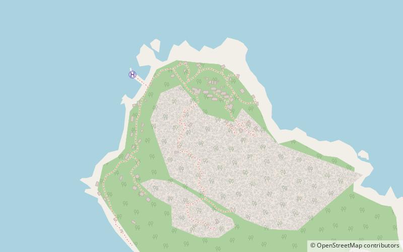
Map
Facts and practical information
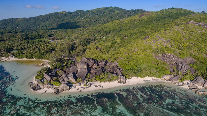
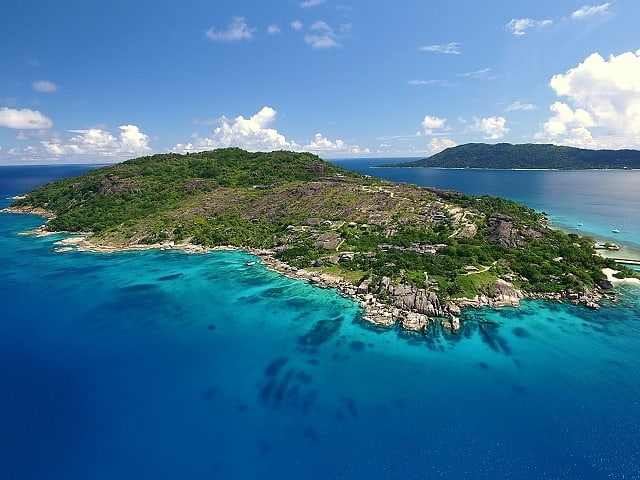
The Ramos National Park lies in the island of Félicité in the Seychelles archipelago of the western Indian Ocean. ()
Elevation: 187 ft a.s.l.Coordinates: 4°19'12"S, 55°52'12"E
Address
La Digue
ContactAdd
Social media
Add
Day trips
Ramos National Park – popular in the area (distance from the attraction)
Nearby attractions include: Anse Source d'Argent, La Digue and Inner Islands, Félicité Island, Grande Soeur.