Western Area Rural District
Map

Map

Facts and practical information
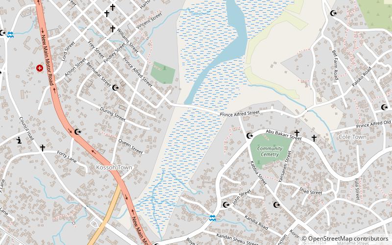
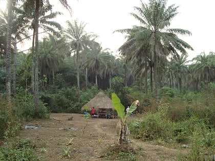
The Western Area Rural District is one of the sixteen districts of Sierra Leone. It is located mostly around the peninsula in the Western Area of Sierra Leone. The Western Area Rural District has a 2015 census population of 442,951. The district capital and largest city is Waterloo. Other major towns in the district include Newton, Benguema, Leicester, Tombo and Regent. Most of the towns and villages in the Western area rural District are close to the capital Freetown; and are part of the Freetown Metropolitan Area. ()
Location
Western
ContactAdd
Social media
Add
