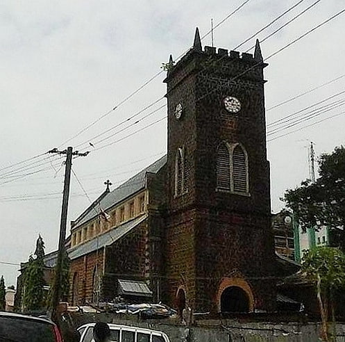
Zion Methodist Church, Freetown
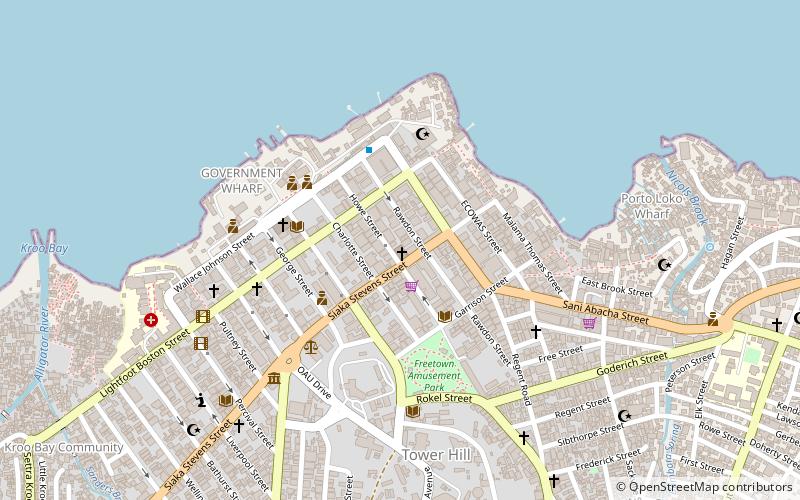
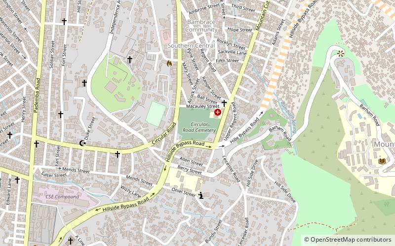
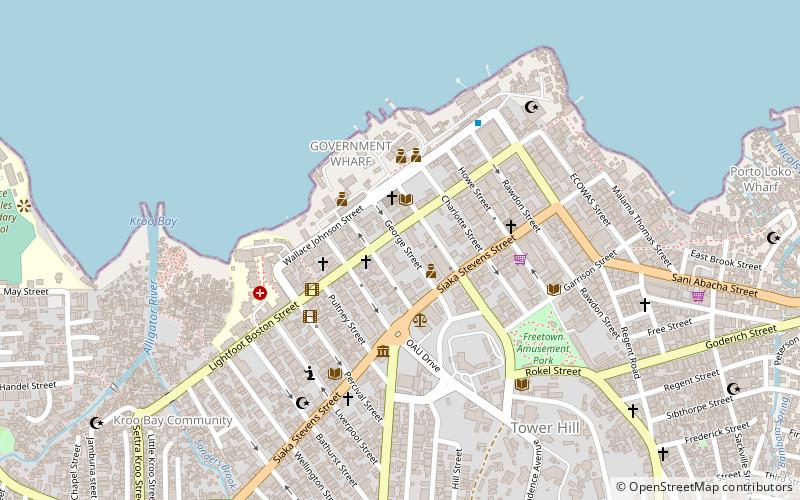
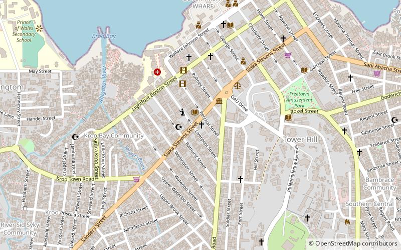
Map
Facts and practical information
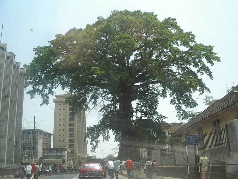
Zion Methodist Church, Wilberforce Street is a historic Settler church established by the Nova Scotian Settlers in 1792 and the present building was constructed in the early to middle of the nineteenth century. ()
Coordinates: 8°27'49"N, 13°15'31"W
Getting there by public transportation
Public transportation stops near this location
- Train
 Train
Train
- Calculate routeFormer Hill Station 14 min walk
Day trips

Frequently Asked Questions (FAQ)
How to get to Zion Methodist Church by public transport?
The nearest stations to Zion Methodist Church:
Train
Train
- Former Hill Station (14 min walk)