Western Area Urban District, Freetown
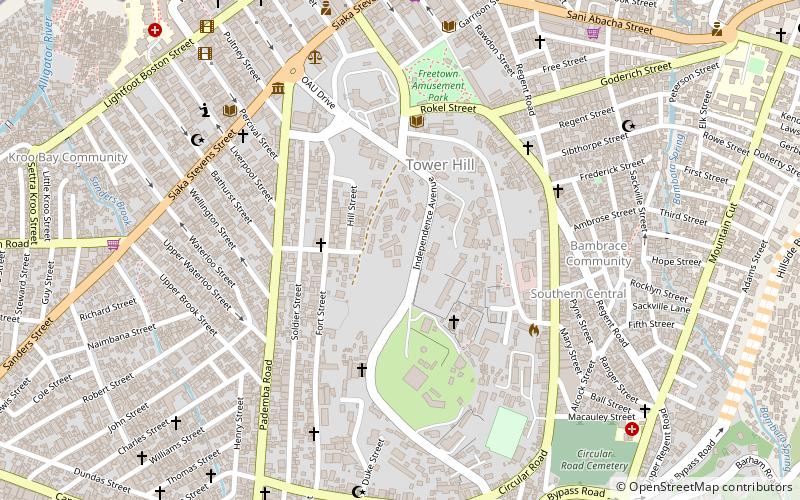
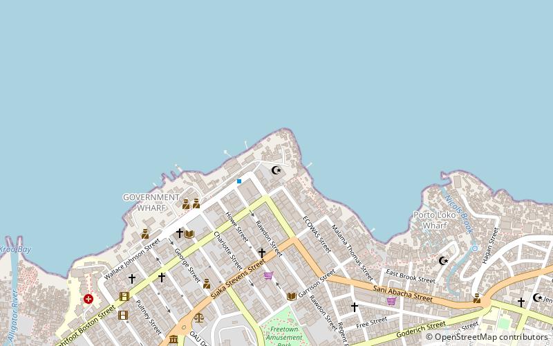
Map
Facts and practical information
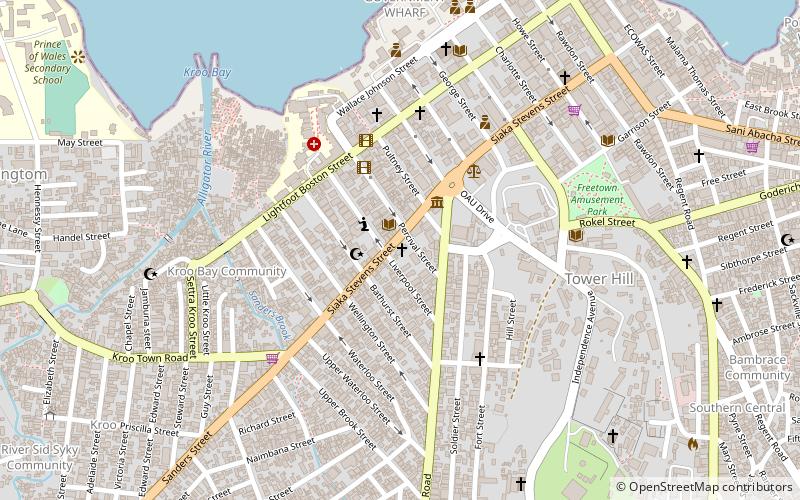
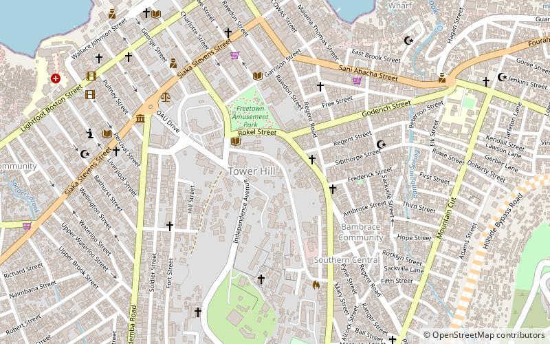
The Western Area Urban District is one of the 16 districts of Sierra Leone. It is by far the most populous district in the country with a population of 1,050,301 and is located in the Western Area of the country. The Western Area Urban District exclusively comprises the entire city of Freetown, the national capital, and its divided into the East End of Freetown, Central Freetown and the West End of Freetown; which are in turns divided into wards and constituencies within the City of Freetown. ()
Address
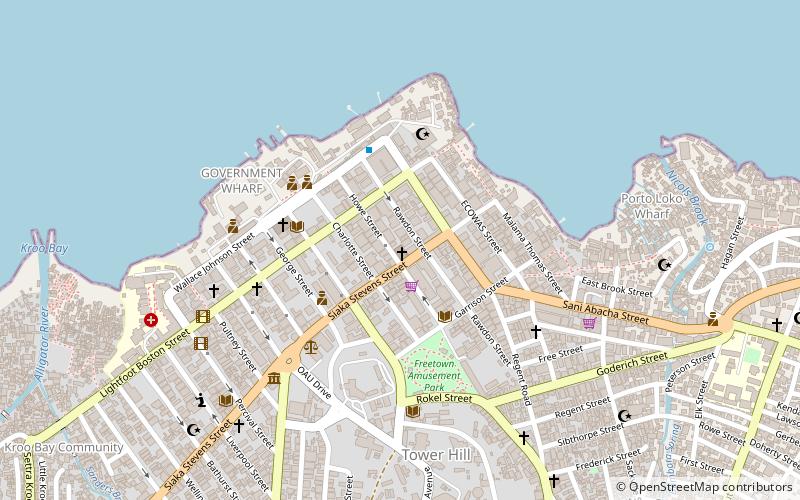
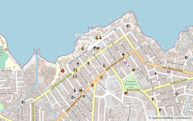
Freetown
ContactAdd
Social media
Add
Day trips
Western Area Urban District – popular in the area (distance from the attraction)
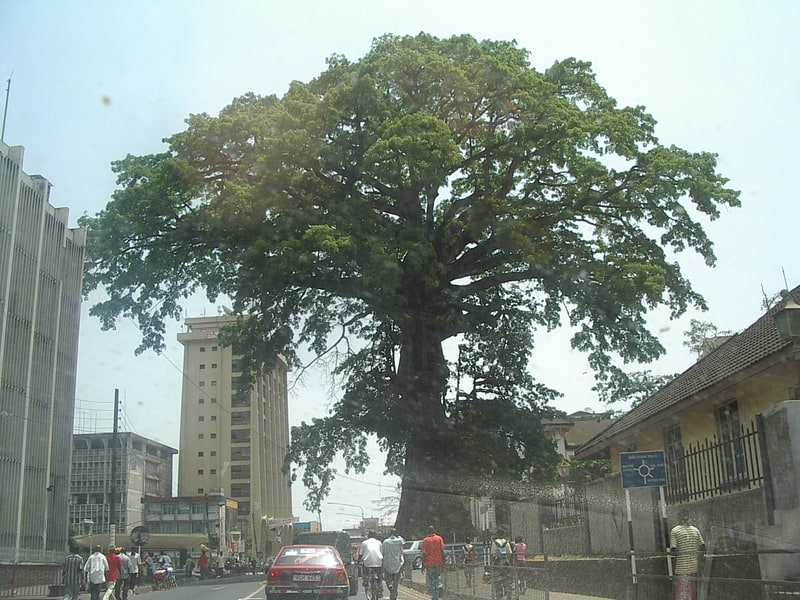
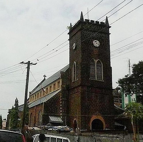
Nearby attractions include: Freetown Central Mosque, Sierra Leone National Museum, Cotton Tree, Sacred Heart Cathedral.
Frequently Asked Questions (FAQ)
Which popular attractions are close to Western Area Urban District?
Nearby attractions include Institute of Public Administration and Management, Freetown (5 min walk), St. John's Maroon Church, Freetown (8 min walk), Sierra Leone National Museum, Freetown (8 min walk), Cotton Tree, Freetown (8 min walk).