Chek Jawa

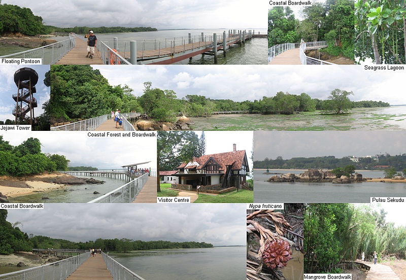
Gallery (2)
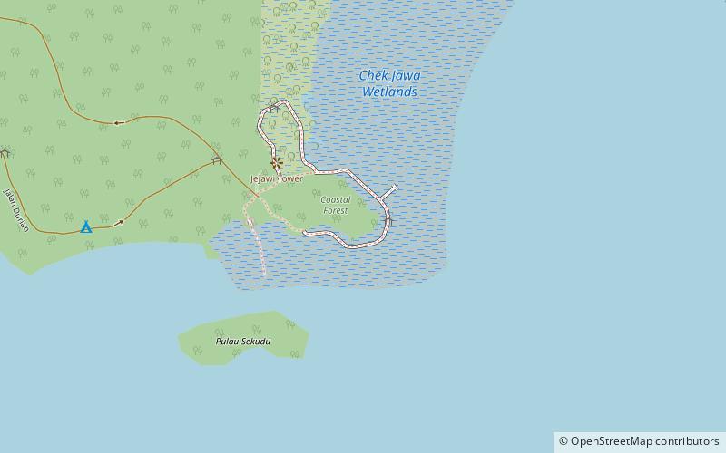
Map
Map
Gallery
Facts and practical information
Tanjong Chek Jawa is a cape and the name of its 100-hectare wetlands located on the south-eastern tip of Pulau Ubin, an island off the north-eastern coast of the main island of Singapore. Chek Jawa is among the last few places left in Singapore with a natural rocky shore. ()
Coordinates: 1°24'29"N, 103°59'31"E
Location
North-East
ContactAdd
Social media
Add
Day trips