Ang Mo Kio

Gallery (1)
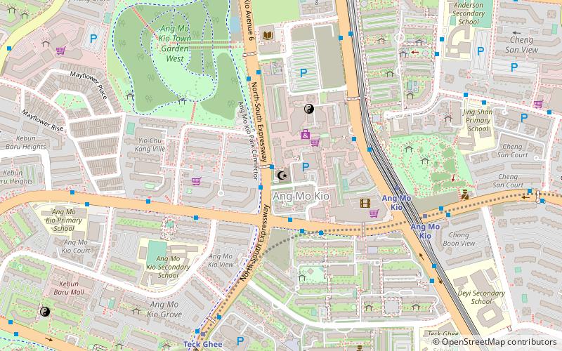
Map
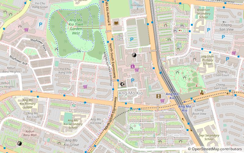
Map
Facts and practical information
Ang Mo Kio is a planning area and residential town situated in the North-East of Singapore. Located approximately 11 kilometres north of the Downtown Core district, Ang Mo Kio is the 3rd most populated planning area in the North-East Region and ranks 8th in terms of population in the country overall. The planning area is located at the south-western corner of the North-East Region, bordered by the planning areas of Yishun to the north, Sengkang to the north-east, Serangoon to the east, Bishan to the south and the Central Water Catchment to the west. ()
Location
North-East
ContactAdd
Social media
Add
Day trips
Ang Mo Kio – popular in the area (distance from the attraction)
Nearby attractions include: Kong Meng San Phor Kark See Monastery, AMK Hub, Nex, Thomson Plaza.