Lower Seletar Reservoir

Gallery (1)
Map
Map
Facts and practical information
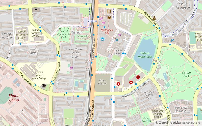
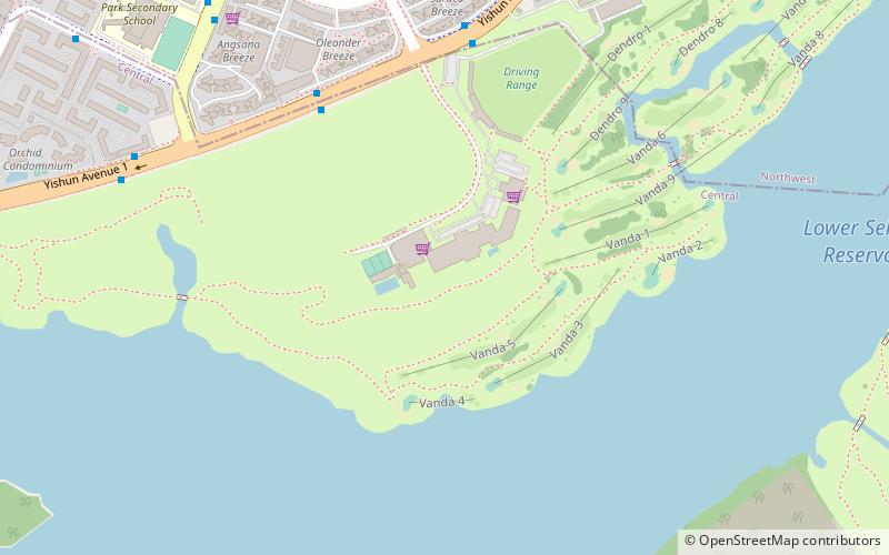
Lower Seletar Reservoir is a reservoir located in the northern part of Singapore, to the east of Yishun New Town. The reservoir has a surface area of 3.6 km², and a capacity of 9.5 million m³. The mean depth of the reservoir is 2 m, with a maximum depth of 5.5 m. The shoreline length is 14.3 km. ()
Maximum depth: 18 ftElevation: 69 ft a.s.l.Coordinates: 1°24'38"N, 103°50'38"E
Location
North
ContactAdd
Social media
Add
Day trips