Pulau Ubin Recreation Area, Singapore/East Coast

Map
Facts and practical information
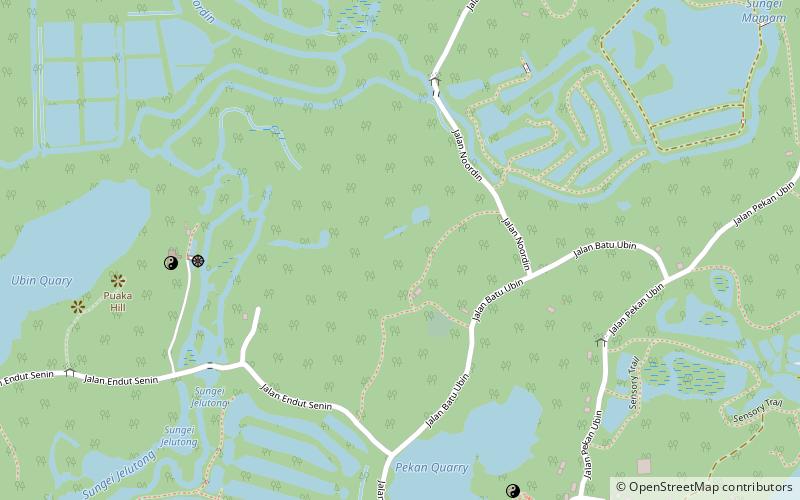
Pulau Ubin Recreation Area is a site of about 700 hectares within the 1020-hectare Pulau Ubin. The area is managed under National Parks Board's charge, along with Chek Jawa Wetlands ()
Elevation: 75 ft a.s.l.Coordinates: 1°24'31"N, 103°57'56"E
Address
Singapore/East Coast
ContactAdd
Social media
Add
Day trips
Pulau Ubin Recreation Area – popular in the area (distance from the attraction)
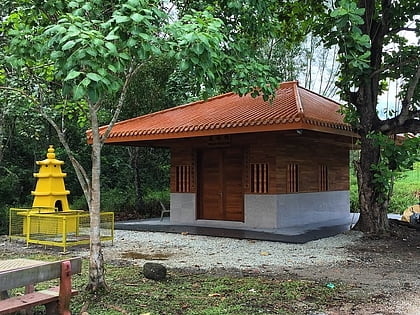
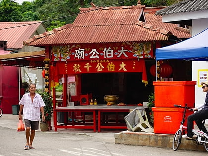
Nearby attractions include: German Girl Shrine, Fo Shan Ting Da Bo Gong Temple, Changi Boardwalk, Pulau Ubin.
Frequently Asked Questions (FAQ)
Which popular attractions are close to Pulau Ubin Recreation Area?
Nearby attractions include Fo Shan Ting Da Bo Gong Temple, Singapore/East Coast (11 min walk), Pulau Ubin (12 min walk).
 Metro
Metro


