Lavender, Singapore/East Coast
Map

Gallery
Facts and practical information
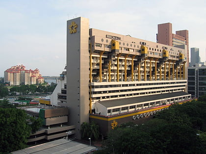
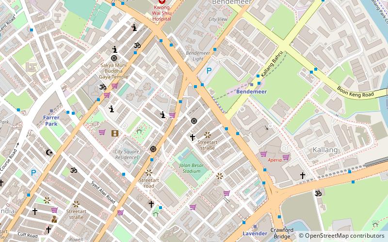
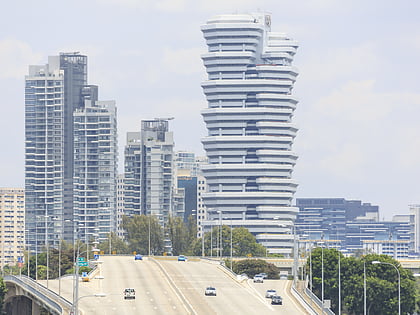
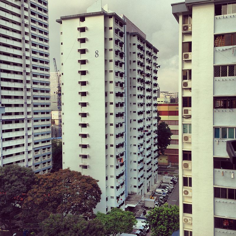
Lavender is a subzone within the planning area of Kallang, Singapore, as defined by the Urban Redevelopment Authority. Lavender is composed of an area bounded by Tessensohn Road in the north; Balestier Road, Lavender Street and Crawford Street in the east; the Rochor River and Rochor Canal in the south; as well as Syed Alwi Road, Serangoon Road and Rangoon Road in the west. ()
Coordinates: 1°18'51"N, 103°51'58"E
Address
Central Region (Kallang)Singapore/East Coast
ContactAdd
Social media
Add
Day trips
Lavender – popular in the area (distance from the attraction)
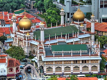
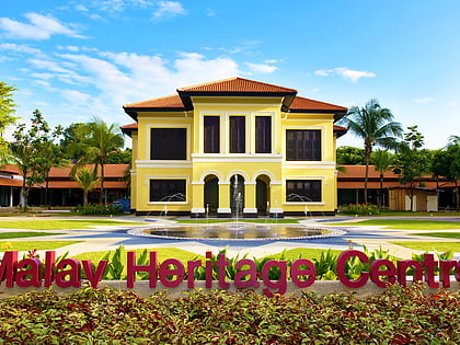
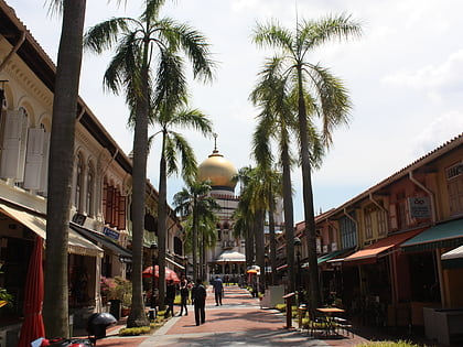
Nearby attractions include: Sultan Mosque, Malay Heritage Centre, Kampong Glam, City Square Mall.
Frequently Asked Questions (FAQ)
Which popular attractions are close to Lavender?
Nearby attractions include Sri Manmatha Karuneshvarar Temple, Singapore/East Coast (10 min walk), Thekchen Choling, Singapore/East Coast (11 min walk), Kallang Riverside Park (14 min walk), Sri Vadapathira Kaliamman Temple (15 min walk).
How to get to Lavender by public transport?
The nearest stations to Lavender:
Bus
Metro
Bus
- Before Kallang Place • Lines: 21, 26, 31, 853, 853M, 961, 961M, 985 (1 min walk)
- Opposite Kallang Place • Lines: 21, 21A, 26, 31, 853, 853M, 961, 961M, 985 (1 min walk)
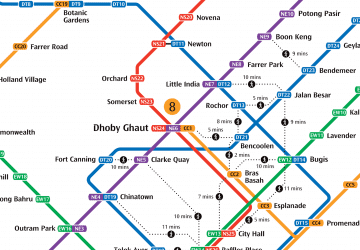
Metro
- Bendemeer • Lines: Dtl (7 min walk)
- Kallang • Lines: Ewl (11 min walk)

 Metro
Metro