Kampong Java, Singapore/East Coast
Map

Gallery

Facts and practical information
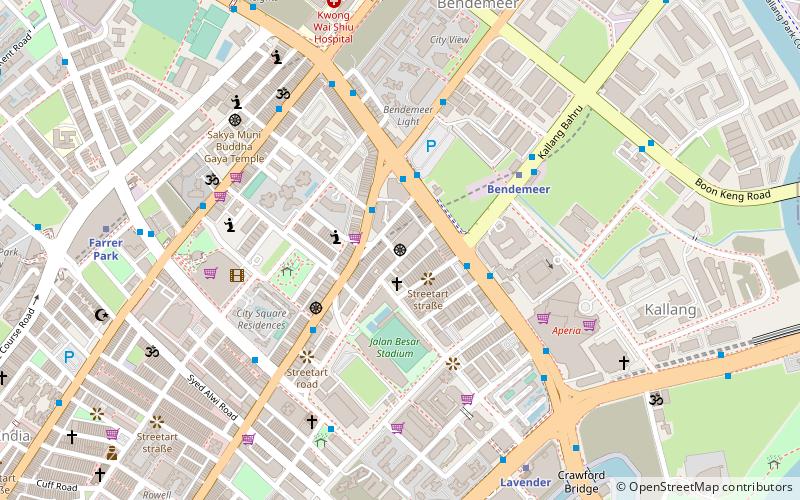
Kampong Java is a subzone within the planning area of Kallang, Singapore, as defined by the Urban Redevelopment Authority. It is bounded by the Central Expressway in the west; Balestier Road in the north; Tessensohn Road, Race Course Road, Gloucester Road, Northumberland Road and Tekka Lane in the east; and Bukit Timah Road in the south. ()
Coordinates: 1°18'48"N, 103°50'58"E
Address
Central Region (Kallang)Singapore/East Coast
ContactAdd
Social media
Add
Day trips
Kampong Java – popular in the area (distance from the attraction)
Nearby attractions include: Sim Lim Square, Tekka Centre, The Verge, Square 2.
Frequently Asked Questions (FAQ)
Which popular attractions are close to Kampong Java?
Nearby attractions include Farrer Park Field, Geylang (3 min walk), Tanglin Police Division, Central Area (7 min walk), Sri Veeramakaliamman Temple (11 min walk), Sri Srinivasa Perumal Temple (12 min walk).
How to get to Kampong Java by public transport?
The nearest stations to Kampong Java:
Bus
Metro
Bus
- After Gloucester Road • Lines: 131, 131A (3 min walk)
- Farrer Park Tennis Centre • Lines: 131, 131A (3 min walk)
Metro
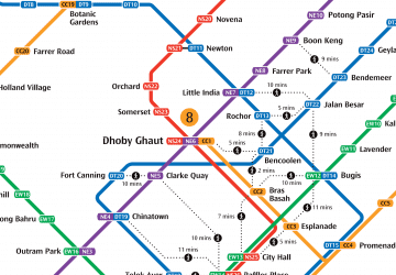
- Farrer Park • Lines: Nel (9 min walk)
- Little India • Lines: Dtl, Nel (12 min walk)

 Metro
Metro


