Clemenceau Bridge, Central Area
Map
Map

Facts and practical information
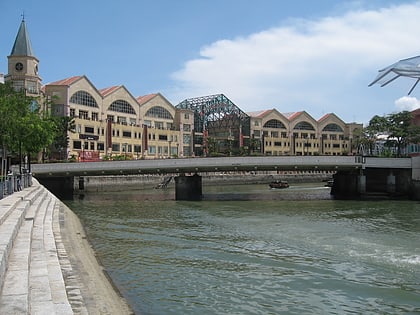
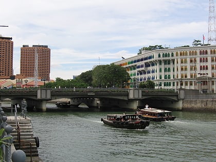
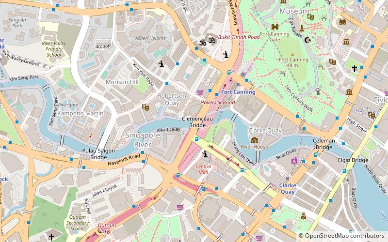
The Clemenceau Bridge is a pre-stressed concrete road bridge across the Singapore River in Singapore. The first bridge was opened in 1940 and was refurbished in 1991. It was named after French Prime Minister Georges Clemenceau, who visited Singapore in 1920. The road, Clemenceau Avenue and Clemenceau Avenue North, was named after him, between Newton Circus and Havelock Road. ()
Coordinates: 1°17'27"N, 103°50'32"E
Address
Central Region (Singapore River)Central Area
ContactAdd
Social media
Add
Day trips
Clemenceau Bridge – popular in the area (distance from the attraction)
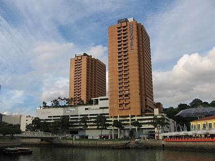
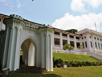
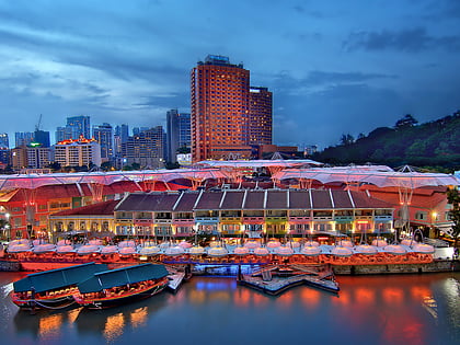
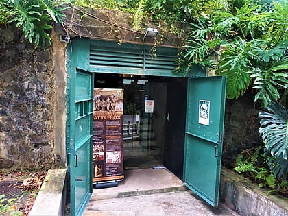
Nearby attractions include: Liang Court, Fort Canning, Clarke Quay, Yue Hwa.
Frequently Asked Questions (FAQ)
Which popular attractions are close to Clemenceau Bridge?
Nearby attractions include Tan Si Chong Su (3 min walk), Ord Bridge (4 min walk), Robertson Quay (5 min walk), Alkaff Bridge (5 min walk).
How to get to Clemenceau Bridge by public transport?
The nearest stations to Clemenceau Bridge:
Bus
Metro
Bus
- Opposite UE Square • Lines: 123, 143, 64 (3 min walk)
- UE Square • Lines: 123, 143, 64 (3 min walk)
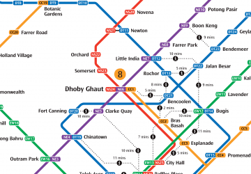
Metro
- Fort Canning • Lines: Dtl (5 min walk)
- Clarke Quay • Lines: Nel (9 min walk)

 Metro
Metro