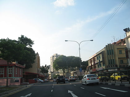
Whampoa, Singapore/East Coast
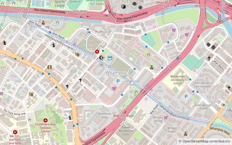
Map
Facts and practical information
Whampoa is a housing estate located in the subzone of Balestier, which is a part of Novena planning area in Singapore, as defined by the Urban Redevelopment Authority. Within the context of the Housing and Development Board, however, Whampoa forms part of the Kallang/Whampoa New Town, together with the various housing precincts located in the adjacent Kallang planning area. This makes Kallang/Whampoa the only HDB new town that encompasses two planning areas, namely Novena and Kallang. ()
Coordinates: 1°19'30"N, 103°51'21"E
Address
300 Whampoa DriveCentral Region (Novena)Singapore/East Coast
ContactAdd
Social media
Add
Day trips
Whampoa – popular in the area (distance from the attraction)
Nearby attractions include: Square 2, City Square Mall, Balestier, Thekchen Choling.
Frequently Asked Questions (FAQ)
Which popular attractions are close to Whampoa?
Nearby attractions include Siong Lim Temple (10 min walk), Balestier, Singapore/East Coast (10 min walk), Sri Lankaramaya Buddhist Temple (13 min walk), Elim Church Singapore (15 min walk).
How to get to Whampoa by public transport?
The nearest stations to Whampoa:
Bus
Metro
Bus
- Saint Michael's Terminal • Lines: 124, 125, 129, 131, 131A, 186, 21 (3 min walk)
- Blk 114 • Lines: 124, 125, 129, 131, 131A, 139, 139M, 186, 21 (3 min walk)
Metro
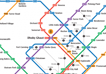
- Boon Keng • Lines: Nel (14 min walk)
- Toa Payoh • Lines: Nsl (20 min walk)
 Metro
Metro

