Buangkok, Singapore/East Coast
Map

Map

Facts and practical information
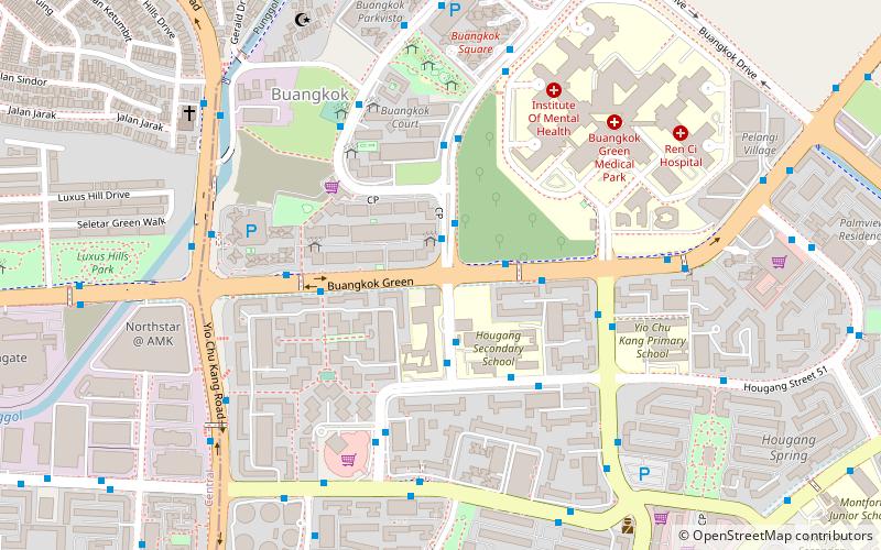
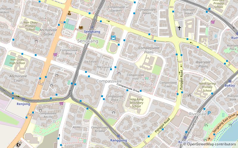
Buangkok is a neighbourhood located in north eastern Singapore. Whilst its boundaries are vague, the neighbourhood is roughly spread across the Trafalgar and Compassvale subzones of the Hougang and Sengkang Planning Areas respectively, as designated by the URA. ()
Coordinates: 1°22'45"N, 103°52'53"E
Address
Northeast Region (Hougang)Singapore/East Coast
ContactAdd
Social media
Add
Day trips
Buangkok – popular in the area (distance from the attraction)
Nearby attractions include: Compass One, Hougang Mall, Japanese Cemetery Park, Sengkang Sports and Recreation Centre.
Frequently Asked Questions (FAQ)
Which popular attractions are close to Buangkok?
Nearby attractions include Kampong Lorong Buangkok (8 min walk), Masjid Al-Mawaddah (17 min walk), Masjid Al-Istiqamah (20 min walk).
How to get to Buangkok by public transport?
The nearest stations to Buangkok:
Bus
Train
Metro
Bus
- Blk 980C • Lines: 101, 329 (2 min walk)
- Opposite Blk 910 • Lines: 101, 156, 325, 43, 43M, 88 (3 min walk)
Train
- Tongkang (20 min walk)
- Renjong (21 min walk)
Metro
- Buangkok • Lines: Nel (22 min walk)
- Hougang • Lines: Crl, Nel (24 min walk)

 Metro
Metro


