Bugis, Singapore/East Coast
Map
Gallery
Facts and practical information
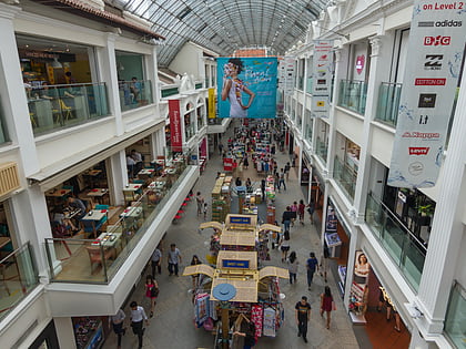
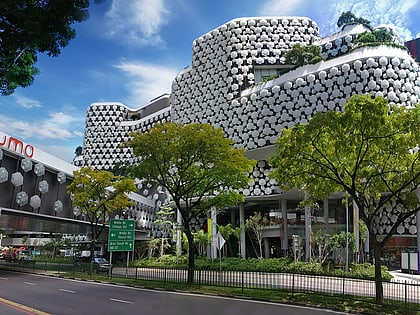
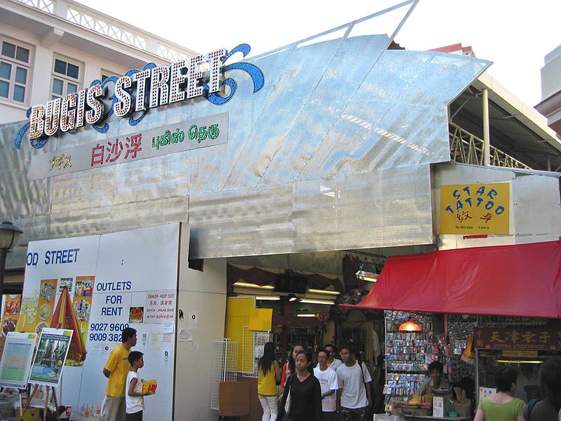
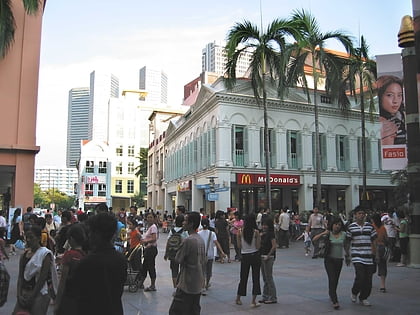
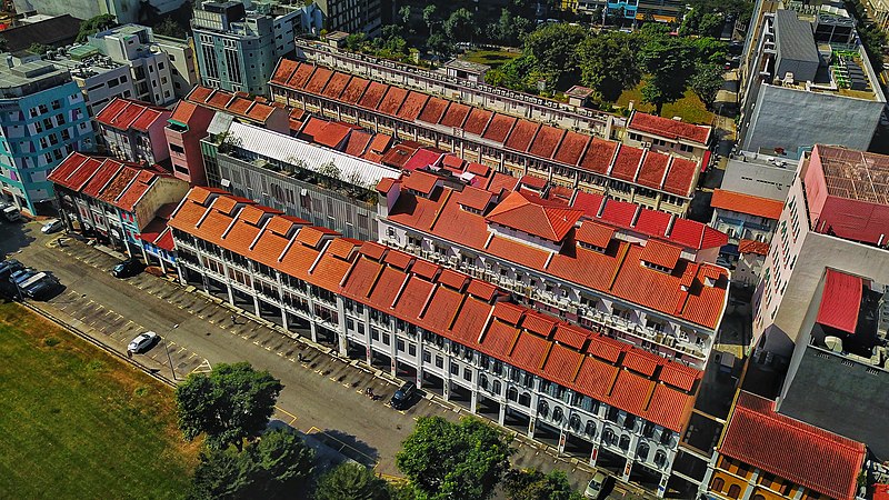
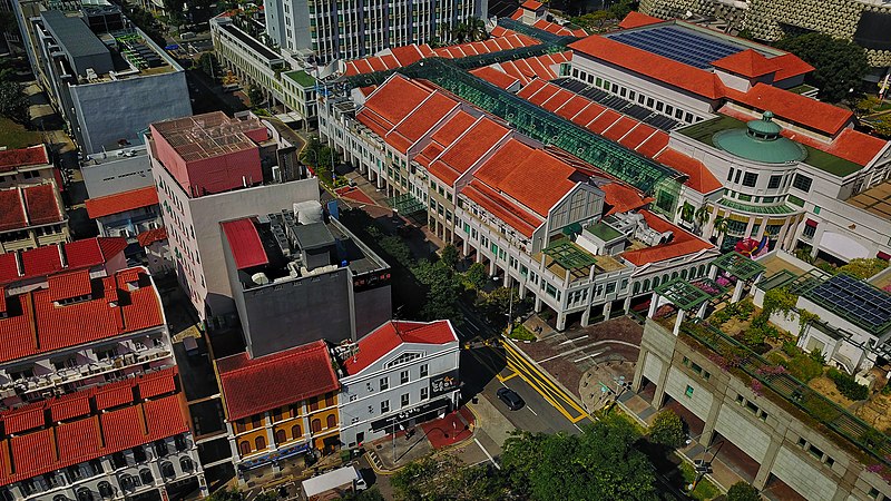
Bugis is an area in Singapore that covers Bugis Street now located within the Bugis Junction shopping mall. Bugis Street was renowned internationally from the 1950s to the 1980s for its nightly gathering of transvestites and transsexuals, a phenomenon that made it one of Singapore's most notable destinations for foreign visitors during that period. ()
Coordinates: 1°18'5"N, 103°51'28"E
Address
Central Region (Rochor)Singapore/East Coast
ContactAdd
Social media
Add
Day trips
Bugis – popular in the area (distance from the attraction)
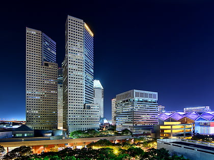
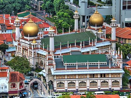
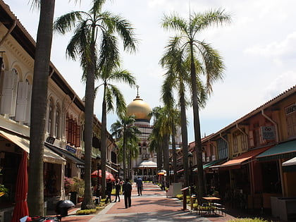
Nearby attractions include: Suntec City, Bugis Junction, Sim Lim Square, Sultan Mosque.
Frequently Asked Questions (FAQ)
Which popular attractions are close to Bugis?
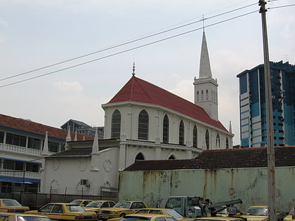
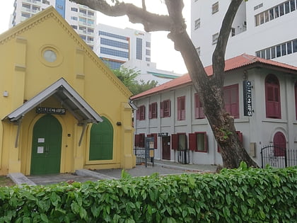
Nearby attractions include Sultan Mosque (3 min walk), Vintage Camera Museum, Singapore/East Coast (5 min walk), Our Lady of Lourdes Church (5 min walk), Istana Kampong Glam (5 min walk).
How to get to Bugis by public transport?
The nearest stations to Bugis:
Bus
Metro
Bus
- Landmark Village Hotel • Lines: 12e, 2N, 48, 4N, 57 (1 min walk)
- Opposite Duo Residences • Lines: 12e, 2N, 48, 4N (2 min walk)
Metro
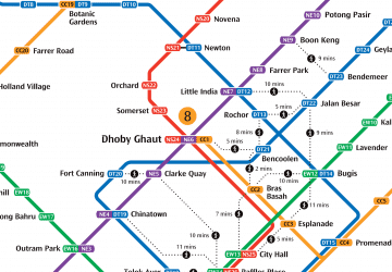
- Bugis • Lines: Dtl, Ewl (4 min walk)
- Jalan Besar • Lines: Dtl (9 min walk)


 Metro
Metro