Museum Planning Area, Central Area
Facts and practical information
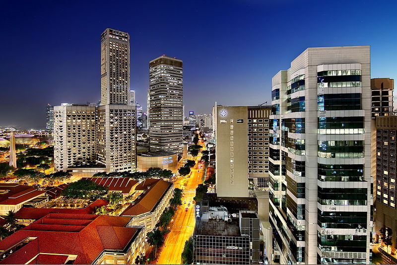
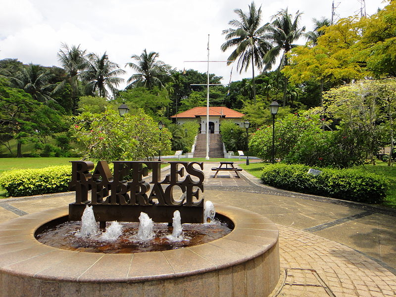
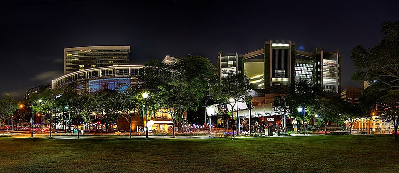
The Museum Planning Area is a planning area located in the Central Area of the Central Region of Singapore. The area plays a "bridging role" between the Orchard area and the Downtown Core, which necessitates proper transport networks for vehicles, pedestrians and public transport. Due to the sheer size of green areas in the district, the Urban Redevelopment Authority has designated it a 'green lung' in the Central Area. However, the Museum Planning Area is also home to cultural and commercial activities. Around 65% of the area is available for future development, making it a hotbed for new infrastructure and buildings. ()
Central Region (Museum)Central Area
Museum Planning Area – popular in the area (distance from the attraction)
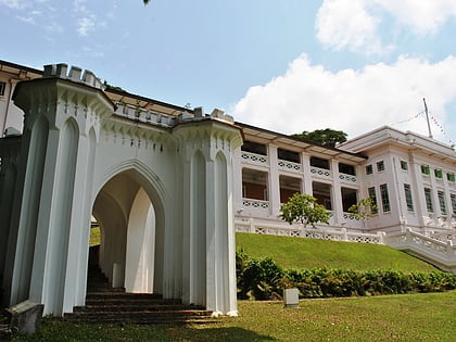
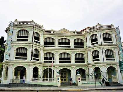
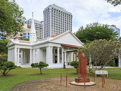
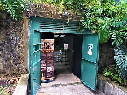
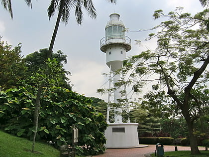
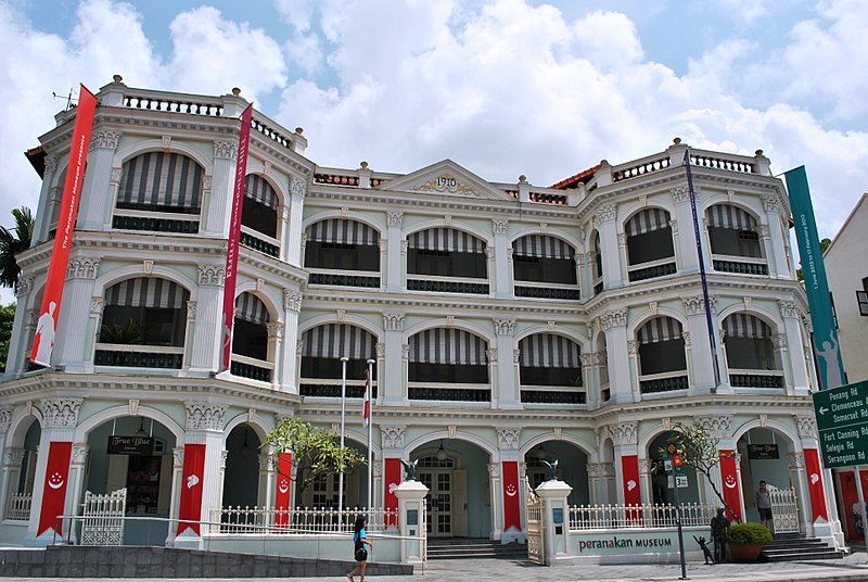
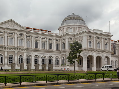
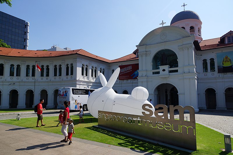
Nearby attractions include: National Museum of Singapore, Fort Canning, Cathedral of the Good Shepherd, Peranakan Museum.
Frequently Asked Questions (FAQ)
Which popular attractions are close to Museum Planning Area?
How to get to Museum Planning Area by public transport?
Bus
- Smu • Lines: 106, 111, 124, 128, 131, 14, 147, 14A, 14e, 16, 162, 162M, 166, 167, 16M, 174, 174e, 175, 190, 36, 36A, 36B, 652, 656, 660, 663, 665, 7, 77, 7A, 850E, 857, 951E, 971 (3 min walk)
- Ymca • Lines: 106, 111, 124, 128, 139, 14, 14A, 14e, 16, 162, 162M, 167, 16M, 174, 174e, 175, 190, 36, 36A, 36B, 64, 65, 652, 656, 660, 663, 665, 7, 77, 7A, 850E, 951E, 971, 972, 972M (3 min walk)
Metro
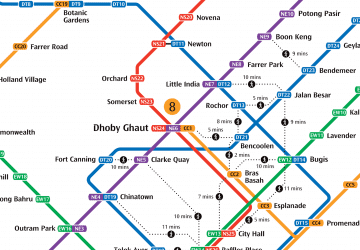
- Bras Basah • Lines: Ccl (4 min walk)
- Bencoolen • Lines: Dtl (6 min walk)


 Metro
Metro
