Bedok Town Park, Singapore/East Coast
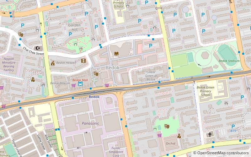
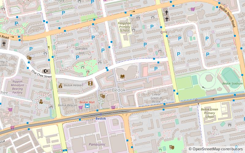
Map
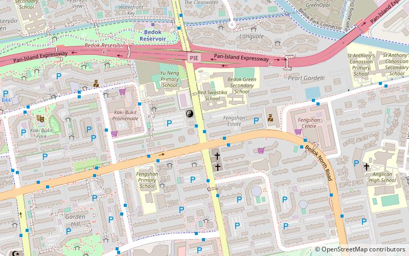
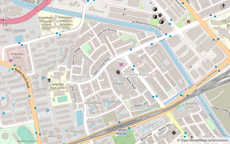
Map

Facts and practical information
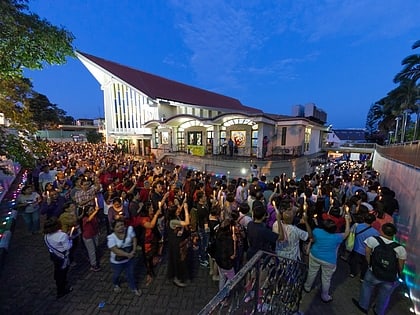
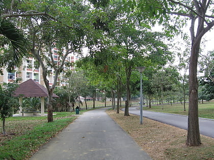
Bedok Town Park is a community park located at Bedok North Avenue 3 in Singapore. It is bounded by Bedok North Road, Bedok North Avenue 3 and the Pan Island Expressway. ()
Elevation: 62 ft a.s.l.Coordinates: 1°19'56"N, 103°56'3"E
Address
East Region (Bedok)Singapore/East Coast
ContactAdd
Social media
Add
Day trips
Bedok Town Park – popular in the area (distance from the attraction)
Nearby attractions include: Bedok Reservoir, Bedok Mall, Masjid Al-Ansar, Church of Our Lady of Perpetual Succour.
Frequently Asked Questions (FAQ)
Which popular attractions are close to Bedok Town Park?
Nearby attractions include Bedok Public Library, Singapore/East Coast (11 min walk), Masjid Al-Ansar (18 min walk), Palelai (21 min walk), Bedok Reservoir (23 min walk).
How to get to Bedok Town Park by public transport?
The nearest stations to Bedok Town Park:
Bus
Metro
Bus
- Blk 506 • Lines: 168, 18, 228, 28, 46, 506, 66, 66A, 67, 69, Ct18 (1 min walk)
- Blk 109 • Lines: 14, 14A, 14e, 168, 17, 17A, 222, 222A, 228, 28, 46, 4N, 506, 66, 67, 69, Ct18 (1 min walk)
Metro
- Bedok Reservoir • Lines: Dtl (9 min walk)
- Bedok • Lines: Ewl (17 min walk)
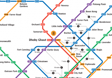 Metro
Metro


