Námestie Slobody, Bratislava
Map

Map

Facts and practical information
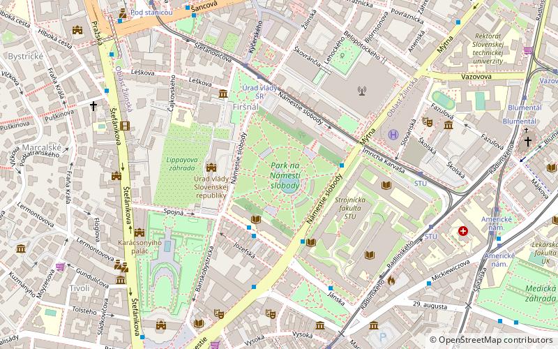
Námestie Slobody, locally referred to as Gottko, is a major city square in the Old Town of Bratislava, the capital of Slovakia. It is situated in the wider city center, close to Kollárovo square and in front of the Summer Archbishop's Palace. ()
Address
Staré MestoBratislava
ContactAdd
Social media
Add
Day trips
Námestie Slobody – popular in the area (distance from the attraction)
Nearby attractions include: Grassalkovich Palace, Botanical Garden of the Comenius University, Old Cathedral of Saint John of Matha and Saint Felix of Valois, Astorka Korzo '90 Theatre.
Frequently Asked Questions (FAQ)
Which popular attractions are close to Námestie Slobody?
Nearby attractions include Episcopal Summer Palace, Bratislava (3 min walk), Slovak Radio Building, Bratislava (5 min walk), National Bank of Slovakia Building, Bratislava (5 min walk), New Scene, Bratislava (5 min walk).
How to get to Námestie Slobody by public transport?
The nearest stations to Námestie Slobody:
Bus
Trolleybus
Tram
Train
Bus
- Nám. slobody • Lines: 31, 39, 94, N55 (3 min walk)
- Kollárovo nám. • Lines: 31, 39, 80, 94, N53, N55, N61, N70 (4 min walk)
Trolleybus
- Prezident. záhrada • Lines: 44, N44 (3 min walk)
- Úrad vlády SR • Lines: 44, N44 (3 min walk)
Tram
- Úrad vlády SR • Lines: 1, 7 (4 min walk)
- Stu • Lines: 1, 7, 9 (6 min walk)
Train
- Bratislava main station (13 min walk)


