Námestie Nežnej revolúcie, Bratislava
Map

Map

Facts and practical information
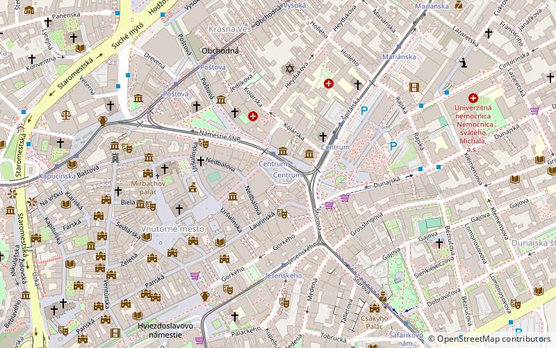
Námestie Nežnej revolúcie is a square in the Old Town borough of Bratislava adjacent to the SNP Square in front of the Old Market Hall. ()
Coordinates: 48°8'41"N, 17°6'42"E
Address
Staré MestoBratislava
ContactAdd
Social media
Add
Day trips
Námestie Nežnej revolúcie – popular in the area (distance from the attraction)
Nearby attractions include: Old Town Hall, Michael's Gate, Apponyi Palace, Roland Fountain.
Frequently Asked Questions (FAQ)
Which popular attractions are close to Námestie Nežnej revolúcie?
Nearby attractions include Divadlo GUnaGU, Bratislava (2 min walk), svätého Ladislava, Bratislava (2 min walk), Saint James's Chapel, Bratislava (3 min walk), Kamenné námestie, Bratislava (3 min walk).
How to get to Námestie Nežnej revolúcie by public transport?
The nearest stations to Námestie Nežnej revolúcie:
Tram
Trolleybus
Bus
Train
Tram
- Centrum • Lines: 1, 3, 4 (2 min walk)
- Jesenského • Lines: 1, 4 (4 min walk)
Trolleybus
- Rajská • Lines: 60, 72 (7 min walk)
- Hodžovo nám. • Lines: 42, 44, 47, N44, N47, N72 (8 min walk)
Bus
- Hodžovo nám. • Lines: 147, 184, 299, 598, 599, 699, 798, 799, 83, 84, 93, N31, N34, N53, N55, N61, N70, N80, N93, N95 (9 min walk)
- Šafárikovo nám. • Lines: 129, 29, 50, 70, N33 (9 min walk)
Train
- Bratislava main station (26 min walk)


