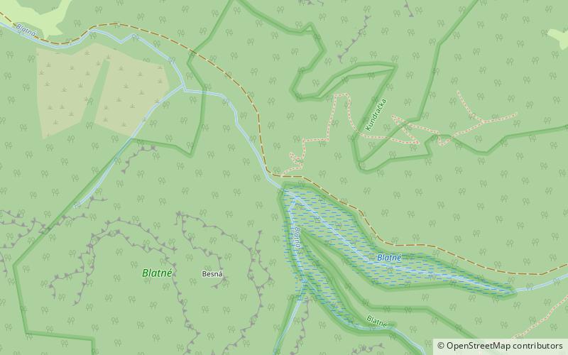
Blatné Lake
#57 among destinations in Slovakia
Facts and practical information
Blatné is a lake in Slovakia. It covers an area of 1.55 hectares. ()
ŽilinskýSlovakia
Blatné Lake – popular in the area (distance from the attraction)
Nearby attractions include: Ploská, Rakytov, Borišov, Tlstá.
 Scenic peak with a grass-covered summit
Ploská
133 min walk • Nestled within the Low Tatra Mountains of Slovakia, Ploská stands as a serene and lesser-known gem for hikers and nature enthusiasts. This mountain, with its summit reaching an altitude of 1,532 meters, offers a tranquil escape from the hustle and bustle of urban life.
 Nature, Natural attraction, Mountain
Rakytov
78 min walk • Rakytov is a mountain in the Liptov Ridge of the Greater Fatra Range in Slovakia measuring 1,567 m. It has a regular pyramidal shape; the top of the mountain is deforested, in places with secondary Mountain Pine.
 Nature, Natural attraction, Mountain
Borišov
138 min walk • Borišov is a mountain in the Greater Fatra Range in Slovakia measuring 1,508.5 m. Its summit is deforested, covered in grass. On the southern side there is one of the largest avalanche slopes in Slovakia.
 Nature, Natural attraction, Mountain
Tlstá
138 min walk • Tlstá is a mountain in the Bralná Fatra part of the Greater Fatra Range, measuring 1,373.3 m. It is located over the Turiec Valley, rising steeply nearly 1,000 m above the valley bottom.
 Hiking, Alpine hut, Mountain
Chata pod Borišovom
134 min walk • Chata near Borišovom - a tourist hostel under the Borišov peak in Wielka Fatra, Slovakia. In various sources, a different height of the shelter is given: 1300 m, 1312 m, 1366 m.
 Park
ParkVeľká Fatra National Park
58 min walk • Veľká Fatra National Park is a National Park in Slovakia. Most of it lies in the southern part of the Žilina Region and a small part in the northern part of Banská Bystrica Region. The national park and its protective zone comprise most of the Greater Fatra Range which belongs to the Outer Western Carpathians.

5.8 miNE Village, Historic walking areas,Vlkolínec, Ruzomberok
149 min walk • Vlkolínec is a village under the administration of the town of Ružomberok in Slovakia. Historically, however, it was a separate village. The first written mention of the village came from 1376 and after 1882 it became part of Ružomberok. Its name is probably derived from the Slovak word "vlk", i.e. wolf.

5.9 miNE , VillageVlkolínec
150 min walk • The village is nestled in the beautiful mountainous landscape of the Velká Fatra range, providing stunning views and plenty of opportunities for outdoor activities. Hiking and cycling are popular ways to explore the surrounding countryside, with trails leading...
 Universities and schools
Catholic University in Ružomberok, Ruzomberok
196 min walk • Catholic University in Ružomberok is a public university with religious character. The Conference of Slovak Bishops and National Council of the Slovak Republic took part in its foundation in 2000.
 Sport, Sport venue, Arenas and stadiums
Štadión pod Čebraťom, Ruzomberok
198 min walk • Štadión pod Čebraťom is a multi-purpose stadium in Ružomberok, Slovakia. It is currently used mostly for football matches and is the home ground of MFK Ružomberok.
 Locality
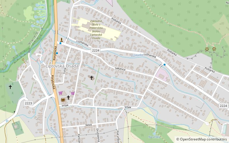
Liptovská Osada
151 min walk • Liptovská Osada is a village and municipality in Ružomberok District in the Žilina Region of northern Slovakia.


