Veľká Fatra National Park
Map

Map

Facts and practical information
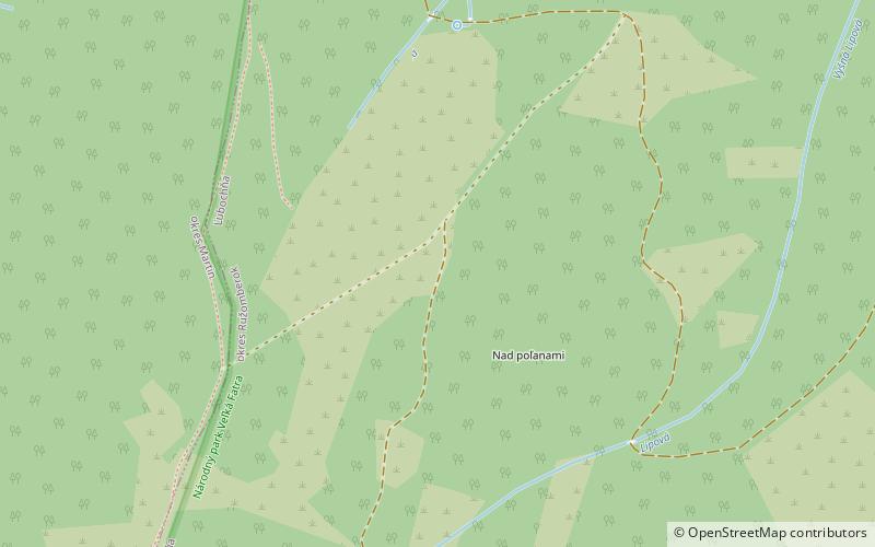
Veľká Fatra National Park is a National Park in Slovakia. Most of it lies in the southern part of the Žilina Region and a small part in the northern part of Banská Bystrica Region. The national park and its protective zone comprise most of the Greater Fatra Range which belongs to the Outer Western Carpathians. ()
Local name: Národný park Veľká Fatra Established: 1 April 2002 (23 years ago)Area: 155.87 mi²Elevation: 3885 ft a.s.l.Coordinates: 49°1'0"N, 19°7'0"E
Location
Žilinský
ContactAdd
Social media
Add
Day trips
Veľká Fatra National Park – popular in the area (distance from the attraction)
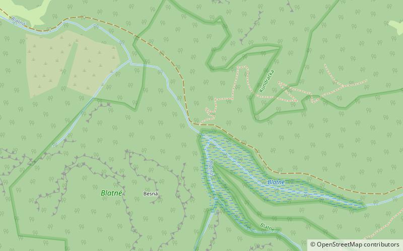
Nearby attractions include: Rakytov, Blatné Lake, Borišov, Gader Valley.


