Choč Mountains

Gallery (1)
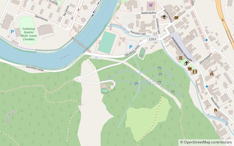
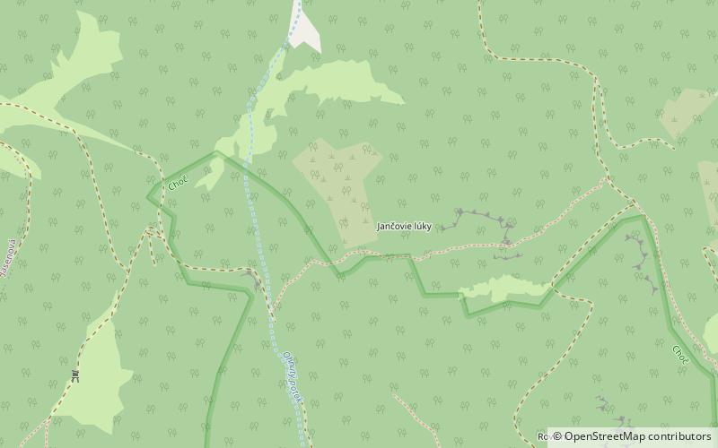
Map
Map
Facts and practical information
The Choč Mountains are a range of mountains in north-central Slovakia, a portion of the Fatra-Tatra Area of the Inner Western Carpathians. The range is 24 kilometers long and on average only 4 kilometers wide. Highest peak is Veľký Choč at 1 611 metres above sea level. ()
Location
Žilinský
ContactAdd
Social media
Add
Day trips