Gabčíkovo–Nagymaros Dams

Gallery (4)
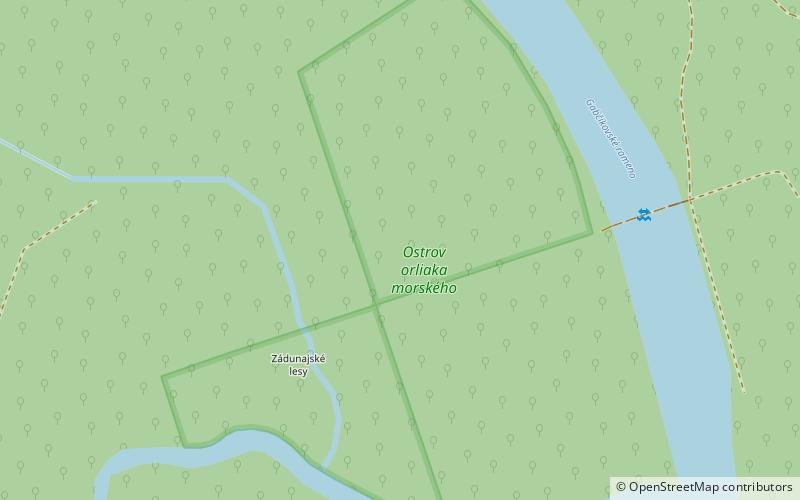
Map

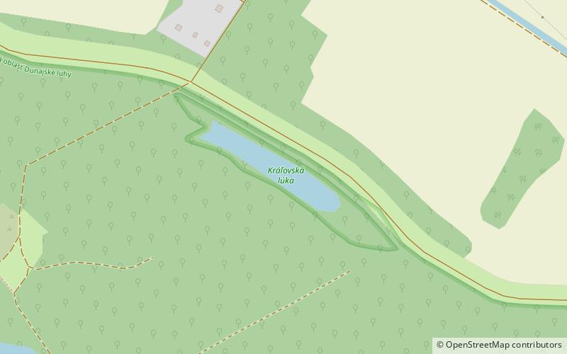
Map
Gallery
Facts and practical information
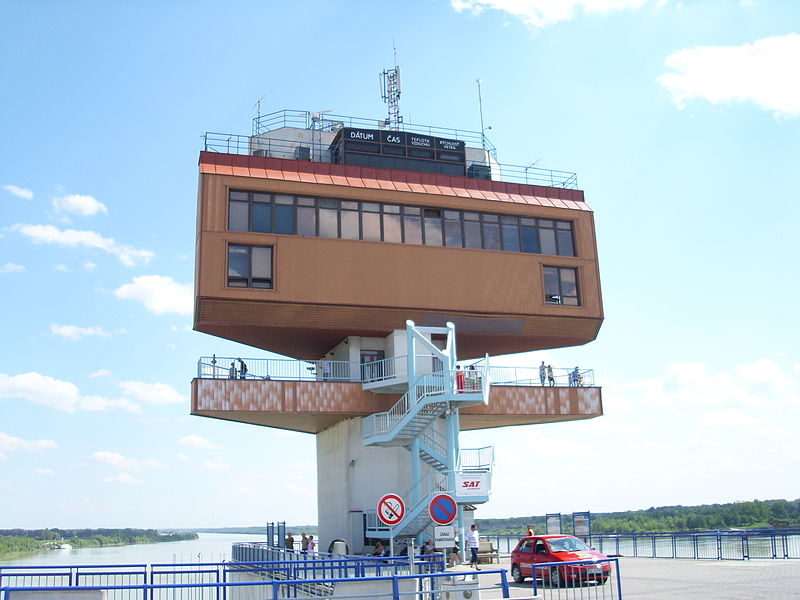
The Gabčíkovo–Nagymaros Dams is a large barrage project on the Danube. It was initiated by the Budapest Treaty of 16 September 1977 between the Czechoslovak Socialist Republic and the Hungarian People's Republic. The project aimed at preventing catastrophic floods, improving river navigability and producing clean electricity. ()
Location
Trnavský
ContactAdd
Social media
Add
Day trips