Devínska Kobyla, Little Carpathians Protected Landscape Area
Map

Gallery

Facts and practical information
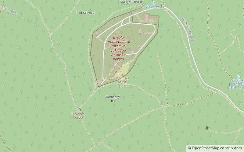
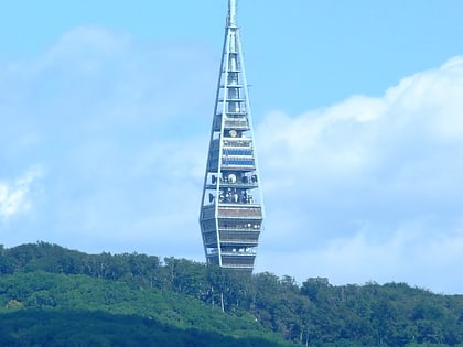
Devínska Kobyla is the highest peak in the Devín Carpathians, part of the Little Carpathians mountain range, and the highest point of Bratislava, the capital of Slovakia. It is located between the boroughs of Devínska Nová Ves, Devín and Dúbravka, close to the border with Austria. Its peak elevation is 514 m AMSL and its treeless summit contains an abandoned military missile base that is officially inaccessible to the public. ()
Address
Bratislava IV (Devínska Nová Ves)Little Carpathians Protected Landscape Area
ContactAdd
Social media
Add
Day trips
Devínska Kobyla – popular in the area (distance from the attraction)
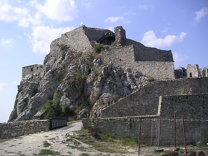
Nearby attractions include: Devín Castle, Bratislava Zoo, Chapel of Saint Rosalia, Church of the Holy Spirit.
Frequently Asked Questions (FAQ)
How to get to Devínska Kobyla by public transport?
The nearest stations to Devínska Kobyla:
Bus
Bus
- Pod Dev. Kobylou • Lines: 29 (22 min walk)
- Waitov lom • Lines: 29 (25 min walk)


