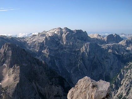
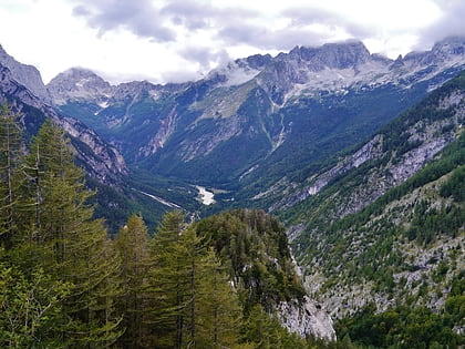
Soška Pot - Soča Trail, Triglav National Park
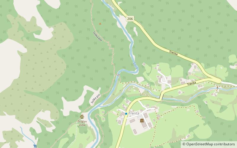
Map
Gallery
Facts and practical information
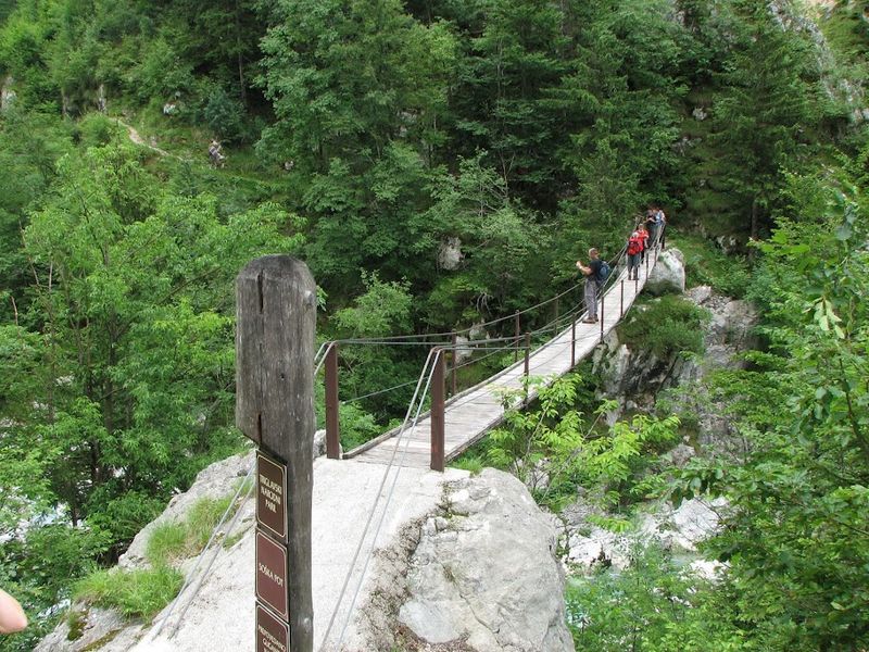
Soška Pot - Soča Trail (address: Na Logu v Trenti) is a place located in Triglav National Park (Goriška statistical region) and belongs to the category of bridge.
It is situated at an altitude of 2047 feet, and its geographical coordinates are 46°22'58"N latitude and 13°45'3"E longitude.
Among other places and attractions worth visiting in the area are: Trenta Valley (nature, 13 min walk), Alpski botanični vrt Juliana (park, 30 min walk), Koča pri izviru Soče (alpine hut, 57 min walk).
Coordinates: 46°22'58"N, 13°45'3"E
Address
Na Logu v TrentiTriglav National Park
ContactAdd
Social media
Add
Day trips
Soška Pot - Soča Trail – popular in the area (distance from the attraction)
Nearby attractions include: Russian Chapel on the Vršič Pass, Aljaž Tower, Razor Mountain, Julian Alps.

