Koča na Klemenči jami pod Ojstrico, Logar Valley
Map
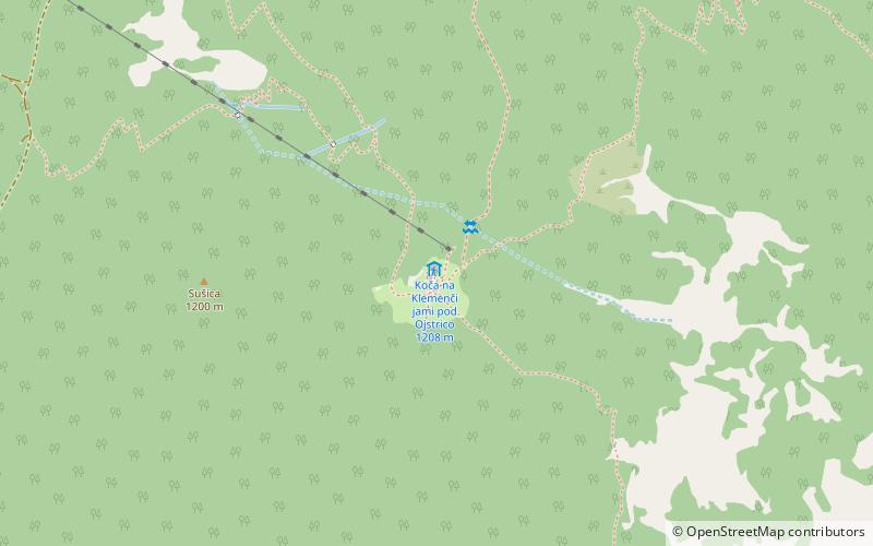
Map

Facts and practical information
Koča na Klemenči jami pod Ojstrico is a place located in Logar Valley (Savinjska statistical region) and belongs to the category of hiking, alpine hut.
It is situated at an altitude of 3891 feet, and its geographical coordinates are 46°22'42"N latitude and 14°38'2"E longitude.
Among other places and attractions worth visiting in the area are: Krofička (nature, 16 min walk), Rinka Falls, Solčava (nature, 20 min walk), Ojstrica (nature, 26 min walk).
Coordinates: 46°22'42"N, 14°38'2"E
Address
Logar Valley
ContactAdd
Social media
Add
Day trips
Koča na Klemenči jami pod Ojstrico – popular in the area (distance from the attraction)
Nearby attractions include: Velika Planina Ski Resort, Potok Cave, Kokrško sedlo, Grintovec.


