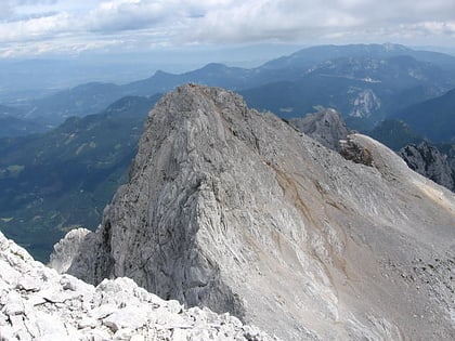
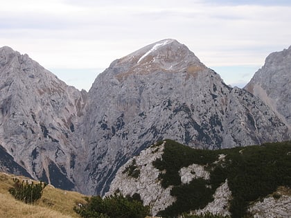
Kamnik–Savinja Alps
Map
Gallery
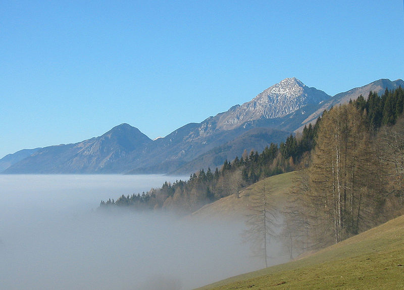
Facts and practical information
Local name: Kamniško-Savinjske Alpe Area: 347.49 mi²Maximum elevation: 8392 ftCoordinates: 46°20'60"N, 14°34'60"E
Location
Osrednjeslovenska
ContactAdd
Social media
Add
Day trips
Kamnik–Savinja Alps – popular in the area (distance from the attraction)
Nearby attractions include: Skuta, Kranjska Rinka, Brana Mountain, Kamniška koča na Kamniškem sedlu.


