Koča na Mangrtskem sedlu, Triglav National Park
Map
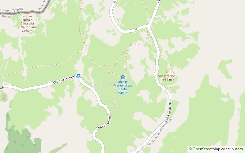
Map

Facts and practical information
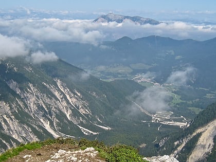
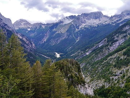
Koča na Mangrtskem sedlu is a place located in Triglav National Park (Goriška statistical region) and belongs to the category of alpine hut, hiking.
It is situated at an altitude of 6263 feet, and its geographical coordinates are 46°26'20"N latitude and 13°38'26"E longitude.
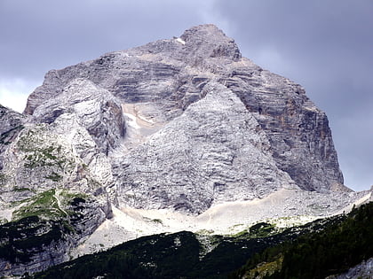
Among other places and attractions worth visiting in the area are: Mangart (nature, 18 min walk), Jalovec Mountain (nature, 57 min walk), Zavetišče pod Špičkom (alpine hut, 68 min walk).
Coordinates: 46°26'20"N, 13°38'26"E
Day trips
Koča na Mangrtskem sedlu – popular in the area (distance from the attraction)
Nearby attractions include: Planica Nordic Centre, Kluže Fortress, Mangart, Planica.


