Posavje District, Ljubljana
Map
Facts and practical information
The Posavje District, or simply Posavje, is a district of the City Municipality of Ljubljana, the capital of Slovenia. ()
Address
Ljubljana
ContactAdd
Social media
Add
Getting there by public transportation
Public transportation stops near this location
- Bus
- Train
 Bus
Bus
- Calculate routeSavlje 5 min walk
- Calculate routeKališnikov trg 6 min walk
- Calculate route103111 ~ 7. septembra 10 min walk
- Calculate route103112 ~ 7. septembra 10 min walk
- Calculate routeLjubljana Ježica 11 min walk
- Calculate routeLjubljana Črnuče 28 min walk
Day trips


Frequently Asked Questions (FAQ)
Which popular attractions are close to Posavje District?
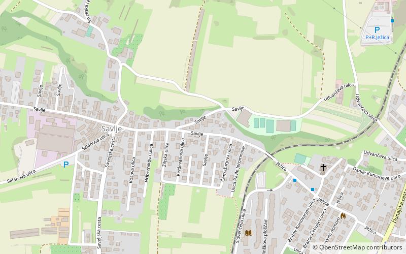
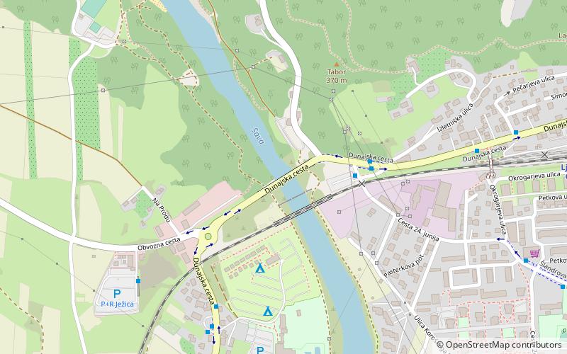
Nearby attractions include Kleče, Ljubljana (11 min walk), Savlje, Ljubljana (12 min walk), Ježica, Ljubljana (13 min walk), Črnuče Bridge, Ljubljana (18 min walk).
How to get to Posavje District by public transport?
The nearest stations to Posavje District:
Bus
Train
Bus
- Savlje • Lines: 14 (5 min walk)
- Kališnikov trg • Lines: 14 (6 min walk)
Train
- Ljubljana Ježica (11 min walk)
- Ljubljana Črnuče (28 min walk)