Gmajna, Ljubljana
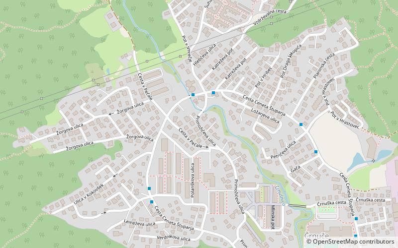
Map
Facts and practical information
Coordinates: 46°6'30"N, 14°31'40"E
Address
Ljubljana
ContactAdd
Social media
Add
Getting there by public transportation
Public transportation stops near this location
- Bus
- Train
 Bus
Bus
- Calculate route104131 ~ Pot v Smrečje 2 min walk
- Calculate route104132 ~ Pot v Smrečje 2 min walk
- Calculate route104122 ~ Polanškova 5 min walk
- Calculate route104121 ~ Polanškova 5 min walk
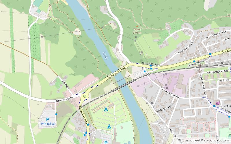
- Calculate routeLjubljana Črnuče 13 min walk
- Calculate routeTrzin industrijska cona 34 min walk
Day trips


Frequently Asked Questions (FAQ)
Which popular attractions are close to Gmajna?
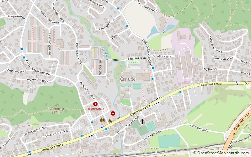
Nearby attractions include Črnuče District, Ljubljana (9 min walk), Črnuče Bridge, Ljubljana (18 min walk), Podboršt, Ljubljana (18 min walk).
How to get to Gmajna by public transport?
The nearest stations to Gmajna:
Bus
Train
Bus
- 104131 ~ Pot v Smrečje • Lines: 21 (2 min walk)
- 104132 ~ Pot v Smrečje • Lines: 21 (2 min walk)
Train
- Ljubljana Črnuče (13 min walk)
- Trzin industrijska cona (34 min walk)