Doornfontein, Johannesburg

Map
Facts and practical information
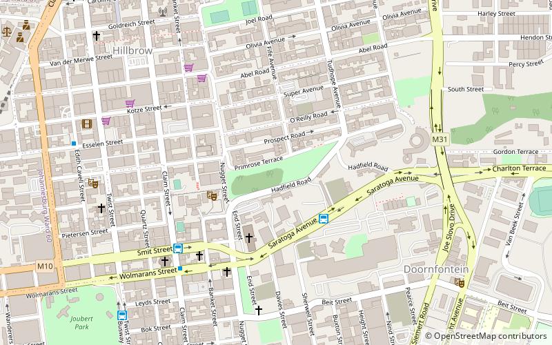
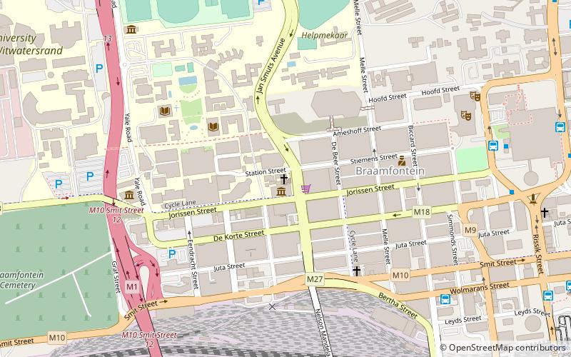
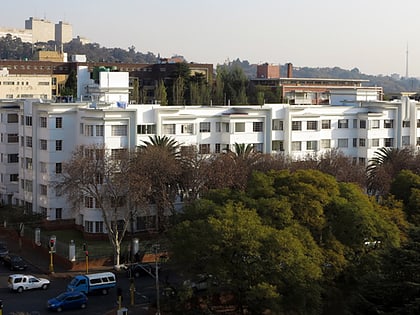
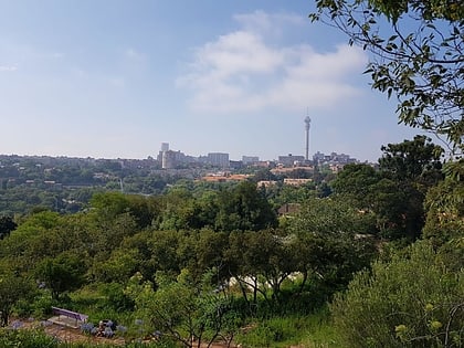
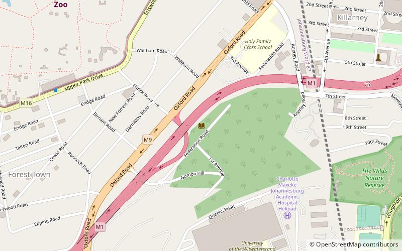
Doornfontein is an inner-city suburb of Johannesburg, South Africa, located to the east of the city centre, Region 8. ()
Address
Johannesburg Inner City (Berea)Johannesburg
ContactAdd
Social media
Add
Day trips
Doornfontein – popular in the area (distance from the attraction)
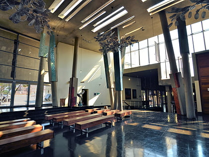
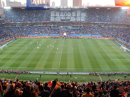
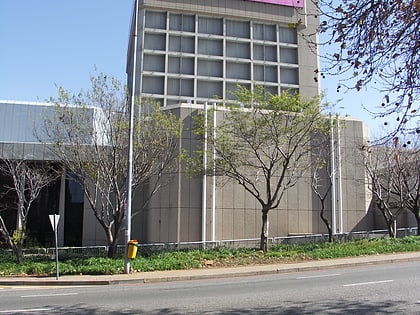
Nearby attractions include: Constitution Hill, Ellis Park Stadium, Pullinger Kop, Johannesburg Art Gallery.
Frequently Asked Questions (FAQ)
Which popular attractions are close to Doornfontein?
Nearby attractions include Hillbrow Tower, Johannesburg (7 min walk), National Children's Theatre, Johannesburg (11 min walk), Highpoint Hillbrow, Johannesburg (11 min walk), Pullinger Kop, Johannesburg (16 min walk).
How to get to Doornfontein by public transport?
The nearest stations to Doornfontein:
Bus
Train
Bus
- J1-7 • Lines: J1 (10 min walk)
- J1-9 • Lines: J1 (10 min walk)
Train
- Park Station (26 min walk)
- Doornfontein (26 min walk)
