Rondebosch Park, Cape Town
Map
Map

Facts and practical information
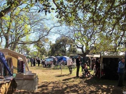
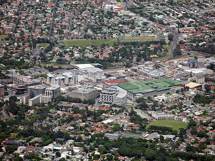
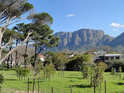
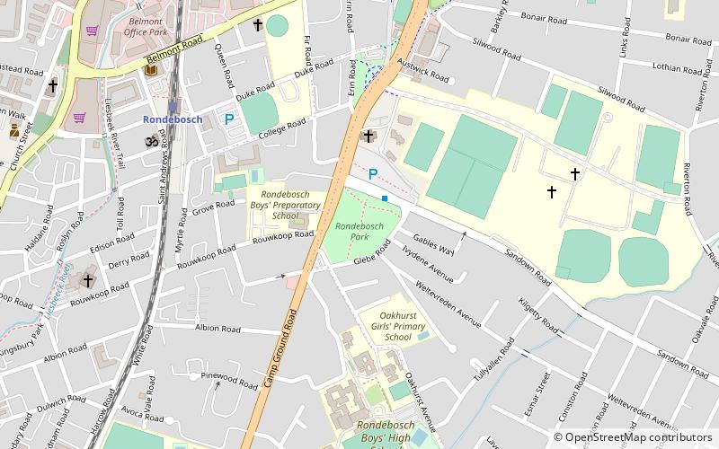
Rondebosch Park is a park in Rondebosch, Cape Town, South Africa. It is located on the corner of Campground Road and Sandown Road. The park is laid out with avenues of trees, and is used for regular craft markets and a Potter's Market held twice a year, usually on March and November. The park was originally owned by the Rondebosch and Mowbray municipalities and is subsidized by the local government. ()
Elevation: 95 ft a.s.l.Coordinates: 33°57'52"S, 18°28'36"E
Address
Cnr Campground & Sandown Roads, RondeboschRondebosch - RosebankCape Town
ContactAdd
Social media
Add
Day trips
Rondebosch Park – popular in the area (distance from the attraction)
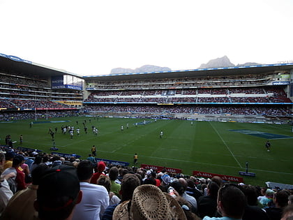
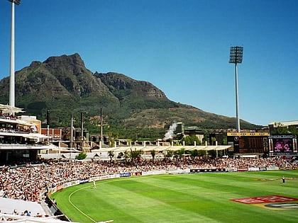
Nearby attractions include: Newlands Stadium, Newlands Cricket Ground, Cavendish Square, Rhodes Memorial.
Frequently Asked Questions (FAQ)
Which popular attractions are close to Rondebosch Park?
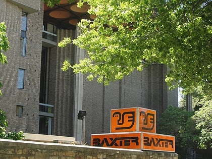
Nearby attractions include Rondebosch Fountain, Cape Town (3 min walk), Rondebosch Library, Cape Town (10 min walk), Keurboom Park, Cape Town (16 min walk), Baxter Theatre, Cape Town (17 min walk).
How to get to Rondebosch Park by public transport?
The nearest stations to Rondebosch Park:
Bus
Train
Bus
- Sandown • Lines: 3 (2 min walk)
- Tugwell • Lines: 1, 4 (20 min walk)
Train
- Rondebosch (8 min walk)
- Rosebank (19 min walk)
