Zoarvlei Wetlands, Cape Town
Map
Facts and practical information
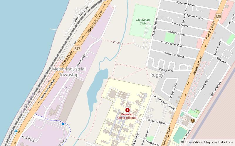
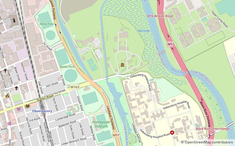
Zoarvlei Wetlands is a wetland reserve of about 140 ha in the city of Cape Town, South Africa. It forms part of the larger Table Bay Nature Reserve proclaimed in June 2012. ()
Coordinates: 33°53'51"S, 18°29'6"E
Address
RugbyCape Town
ContactAdd
Social media
Add
Getting there by public transportation
Public transportation stops near this location
- Bus
- Train
 Bus
Bus
- Calculate routeZoar Vlei 8 min walk
- Calculate routeLagoon 11 min walk
- Calculate routeVrystaat 22 min walk
- Calculate routeWoodbridge Island 27 min walk
- Calculate routeKentemade 34 min walk
Day trips


Frequently Asked Questions (FAQ)
How to get to Zoarvlei Wetlands by public transport?
The nearest stations to Zoarvlei Wetlands:
Bus
Train
Bus
- Zoar Vlei • Lines: T01 (8 min walk)
- Lagoon • Lines: T01 (11 min walk)
Train
- Kentemade (34 min walk)