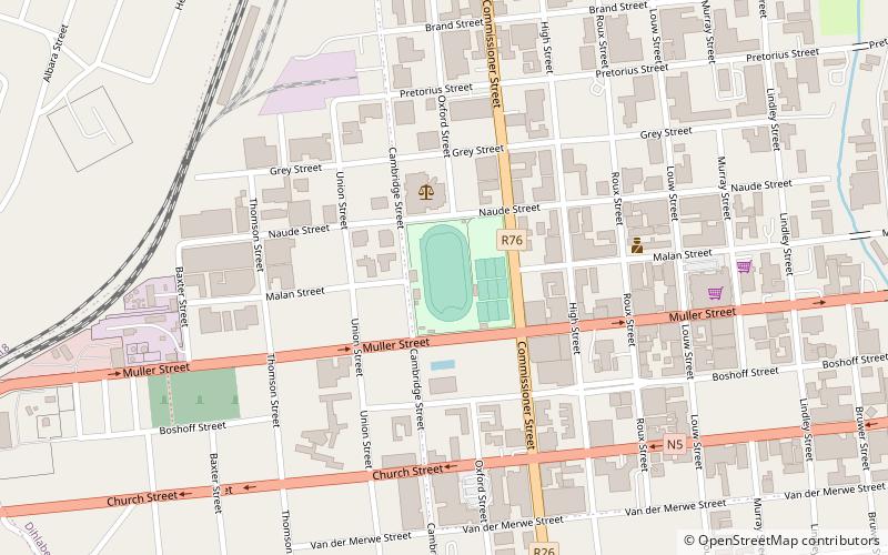
Dihlabeng Local Municipality, Bethlehem
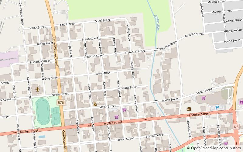
Map
Facts and practical information
Dihlabeng Local Municipality is an administrative area in the Thabo Mofutsanyane District of the Free State in South Africa. It was established in terms of Section 12 of the Local Government Structures Act, 117 of 1998, after the first general local government elections of 5 December 2000 which heralded the final phase of local government reform as envisaged in 1994 at the onset of the process of democratisation. ()
Address
Bethlehem
ContactAdd
Social media
Add
Day trips
Dihlabeng Local Municipality – popular in the area (distance from the attraction)
Nearby attractions include: Sol Plaatje Dam, Goble Park.