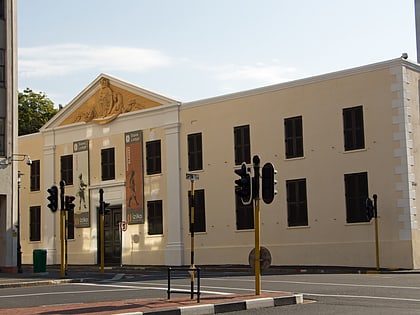
Cape Town Civic Centre, Cape Town
Map

Map

Facts and practical information
The Cape Town Civic Centre is a building on the Foreshore in central Cape Town, South Africa that serves as the headquarters of the City of Cape Town, the municipality that governs Cape Town and its suburbs. ()
Completed: 1978 (47 years ago)Architectural style: ModernHeight: 322 ftFloors: 26Coordinates: 33°55'16"S, 18°25'43"E
Address
Cape Town CBD - ForeshoreCape Town
ContactAdd
Social media
Add
Day trips
Cape Town Civic Centre – popular in the area (distance from the attraction)
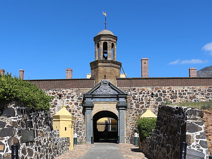
Nearby attractions include: Long Street, Adderley Street, Castle Military Museum, Castle of Good Hope.
Frequently Asked Questions (FAQ)
Which popular attractions are close to Cape Town Civic Centre?
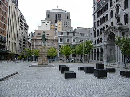
Nearby attractions include Artscape Theatre Centre, Cape Town (4 min walk), Statue of Jan van Riebeeck, Cape Town (6 min walk), The Cenotaph, Cape Town (6 min walk), Naspers Centre, Cape Town (6 min walk).
How to get to Cape Town Civic Centre by public transport?
The nearest stations to Cape Town Civic Centre:
Bus
Train
Bus
- Civic Centre • Lines: 101, 102, 103, 104, 105, A01, D03, T01 (2 min walk)
- Cape Town Station (5 min walk)
Train
- Cape Town (5 min walk)
- Esplanade (26 min walk)


