Grand Parade, Cape Town
Map

Gallery
Facts and practical information
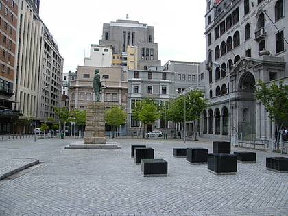
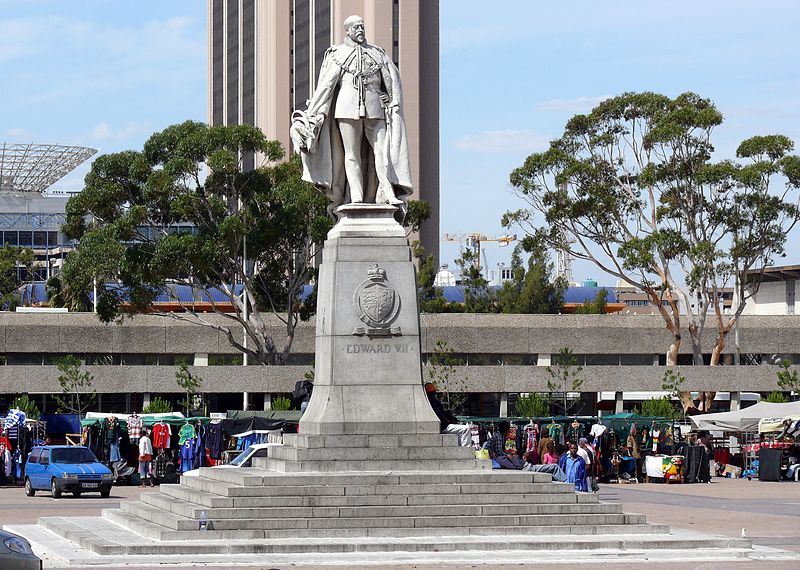
The Grand Parade is the main public square in Cape Town, South Africa. ()
Local name: ParadeCoordinates: 33°55'29"S, 18°25'29"E
Address
Darling StreetCape Town CBD - ForeshoreCape Town
ContactAdd
Social media
Add
Day trips
Grand Parade – popular in the area (distance from the attraction)
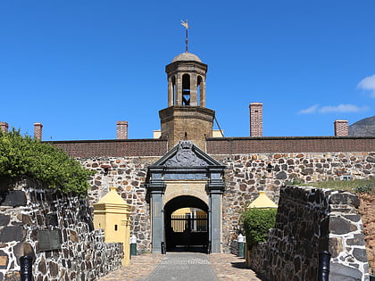
Nearby attractions include: Long Street, Adderley Street, Castle Military Museum, Castle of Good Hope.
Frequently Asked Questions (FAQ)
Which popular attractions are close to Grand Parade?
Nearby attractions include City Hall, Cape Town (2 min walk), Strand Street, Cape Town (2 min walk), Central Library Cape Town, Cape Town (3 min walk), Mutual Building, Cape Town (4 min walk).
How to get to Grand Parade by public transport?
The nearest stations to Grand Parade:
Bus
Train
Bus
- Lower Buitenkant • Lines: 103 (4 min walk)
- Darling • Lines: 102, 103 (4 min walk)
Train
- Cape Town (5 min walk)


