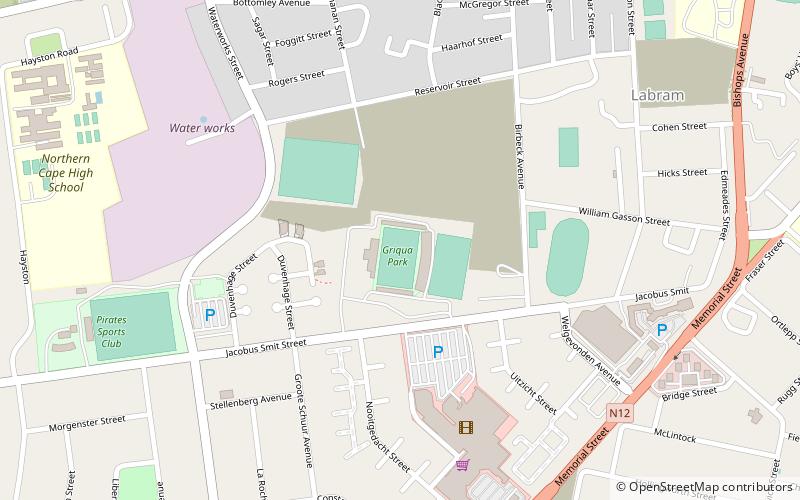
Griqualand West, Kimberley
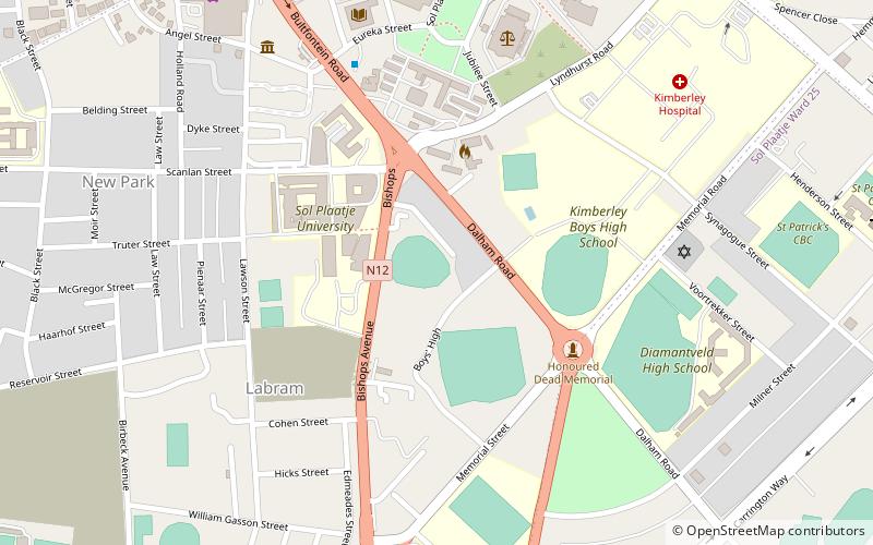
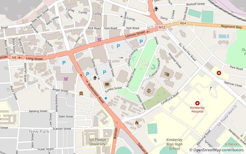
Map
Facts and practical information
Griqualand West is an area of central South Africa with an area of 40,000 km2 that now forms part of the Northern Cape Province. It was inhabited by the Griqua people – a semi-nomadic, Afrikaans-speaking nation of mixed-race origin, who established several states outside the expanding frontier of the Cape Colony. It was also inhabited by the pre-existing Tswana and Khoisan peoples. ()
Address
Kimberley
ContactAdd
Social media
Add
Day trips
Griqualand West – popular in the area (distance from the attraction)
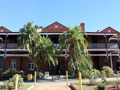
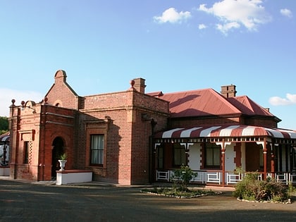
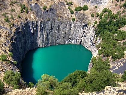
Nearby attractions include: McGregor Museum, William Humphreys Art Gallery, Duggan-Cronin Gallery, Big Hole.
Frequently Asked Questions (FAQ)
Which popular attractions are close to Griqualand West?
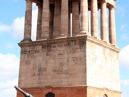
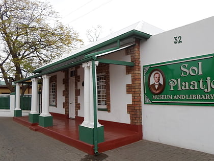
Nearby attractions include Honoured Dead Memorial, Kimberley (5 min walk), Sol Plaatje Museum, Kimberley (9 min walk), Sol Plaatje University, Kimberley (9 min walk), William Humphreys Art Gallery, Kimberley (12 min walk).
