Waterberg Biosphere
Map

Map

Facts and practical information
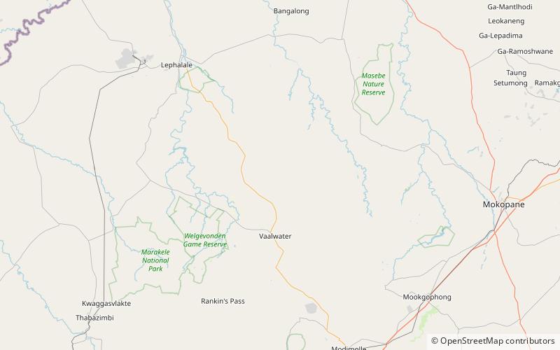
The Waterberg is a mountainous massif of approximately 654,033 hectare in north Limpopo Province, South Africa. The average height of the mountain range is 600 m with a few peaks rising up to 2000 m above sea level. Vaalwater town is located just north of the mountain range. The extensive rock formation was shaped by hundreds of millions of years of riverine erosion to yield diverse bluff and butte landform. The ecosystem can be characterised as a dry deciduous forest or Bushveld. Within the Waterberg there are archaeological finds dating to the Stone Age, and nearby are early evolutionary finds related to the origin of humans. ()
Local name: Waterberg Area: 2525.23 mi²Maximum elevation: 262467 ftCoordinates: 24°4'43"S, 28°8'21"E
Location
Limpopo
ContactAdd
Social media
Add
