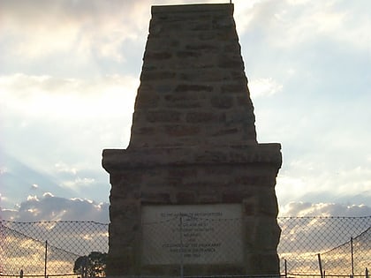
Observatory Ridge, Johannesburg
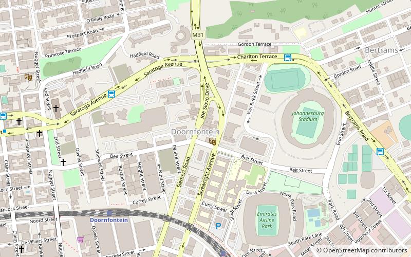
Map
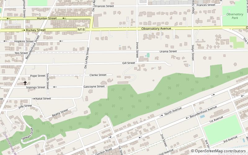
Map

Facts and practical information
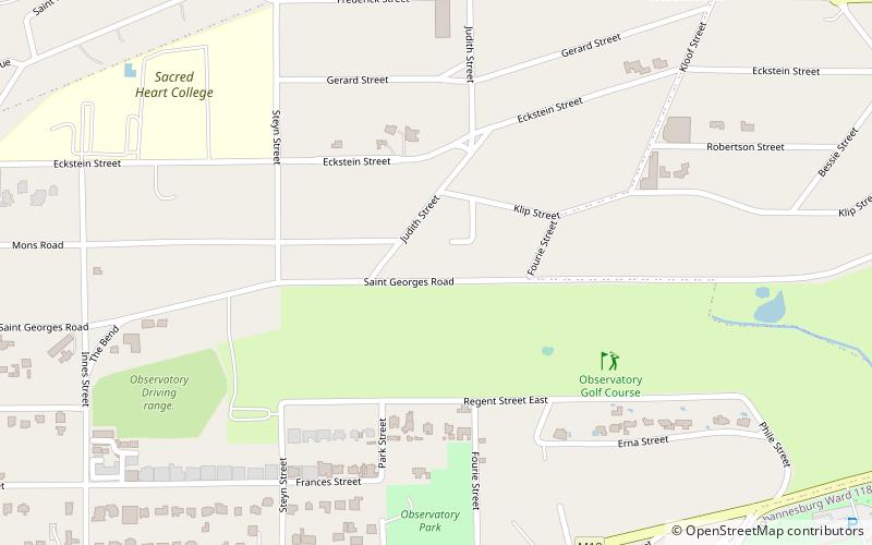
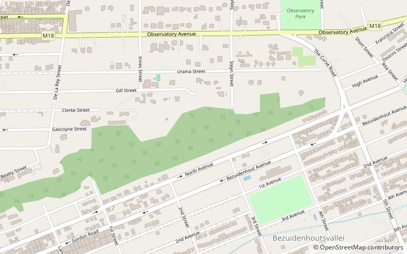
Observatory Ridge is the highest point in Johannesburg, South Africa. It is 1,808 metres above sea level. It is in the suburb of Observatory. ()
Coordinates: 26°11'5"S, 28°4'40"E
Address
Johannesburg Inner City (Bezuidenhout Valley)Johannesburg
ContactAdd
Social media
Add
Day trips
Observatory Ridge – popular in the area (distance from the attraction)
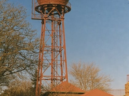
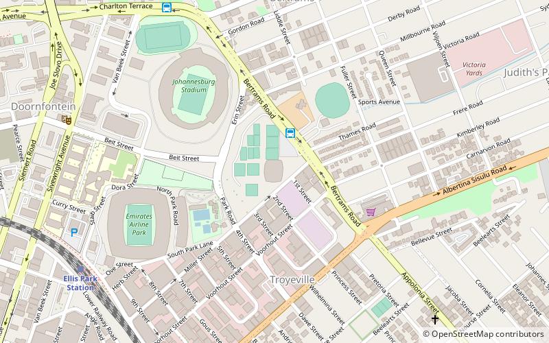
Nearby attractions include: Ellis Park Stadium, Doornfontein Synagogue, Yeoville Water Tower, Union Observatory.
Frequently Asked Questions (FAQ)
Which popular attractions are close to Observatory Ridge?
Nearby attractions include Union Observatory, Johannesburg (6 min walk), Observatory, Johannesburg (17 min walk), Yeoville Water Tower, Johannesburg (23 min walk).
How to get to Observatory Ridge by public transport?
The nearest stations to Observatory Ridge:
Bus
Train
Bus
- BRT Bus Station (25 min walk)
- Ellis Park East Bus Station • Lines: C1, T1 (27 min walk)
Train
- Ellis Park (39 min walk)
