Diep River Fynbos Corridor, Cape Town
Map
Facts and practical information
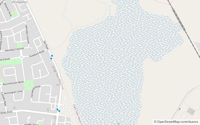
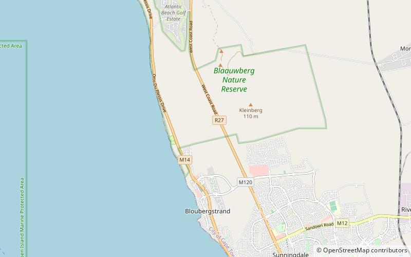
The Diep River Fynbos Corridor is a nature reserve located in the Blaauwberg region of Cape Town, South Africa. It forms part of the larger Table Bay Nature Reserve, which was established in June 2012. ()
Coordinates: 33°48'50"S, 18°31'22"E
Getting there by public transportation
Public transportation stops near this location
- Bus
 Bus
Bus
- Calculate routeGie Central 7 min walk
- Calculate routeEarlswood 8 min walk
- Calculate routePinto 16 min walk
- Calculate routeChippenham 18 min walk
Day trips


Frequently Asked Questions (FAQ)
How to get to Diep River Fynbos Corridor by public transport?
The nearest stations to Diep River Fynbos Corridor:
Bus
Bus
- Gie Central • Lines: 215 (7 min walk)
- Earlswood • Lines: 215 (8 min walk)