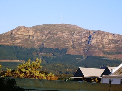
The Sentinel, Table Mountain National Park
Map
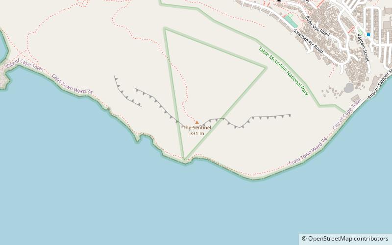
Map

Facts and practical information
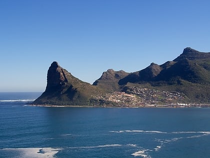
The Sentinel or Hangberg is a peak marking the western end of the mouth of Hout Bay in South Africa. It has a shear cliff dropping towards the sea, and a coastal hiking path is accessible at low tide. It is adjacent to Hout Bay Harbour and the Hangberg settlement, and to the higher Karbonkelberg peak. Just offshore to the south is a colony of Cape fur seals known as Seal Island, and a big wave surf spot known as "Dungeons", which has hosted the Red Bull Big Wave Africa competition. ()
Elevation: 1086 ftCoordinates: 34°3'34"S, 18°20'16"E
Address
Hout BayTable Mountain National Park
ContactAdd
Social media
Add
Day trips
The Sentinel – popular in the area (distance from the attraction)
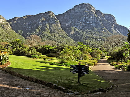
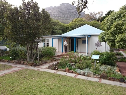
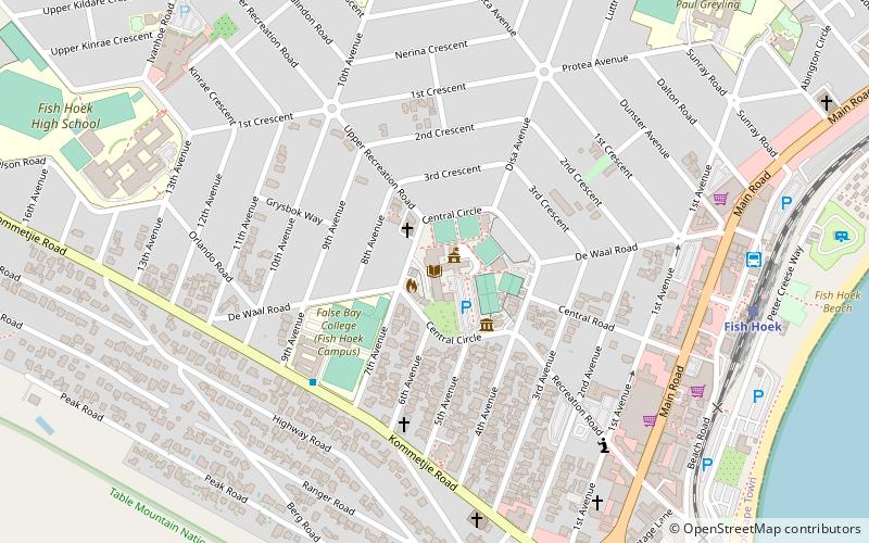
Nearby attractions include: Kirstenbosch Botanical Gardens, Llandudno Beach House, Hout Bay Museum, Fish Hoek Library.
Frequently Asked Questions (FAQ)
Which popular attractions are close to The Sentinel?
Nearby attractions include Duiker Island, Cape Town (17 min walk), Drumbeat Charters, Cape Town (24 min walk).
